Surveys and Mapping Building
-
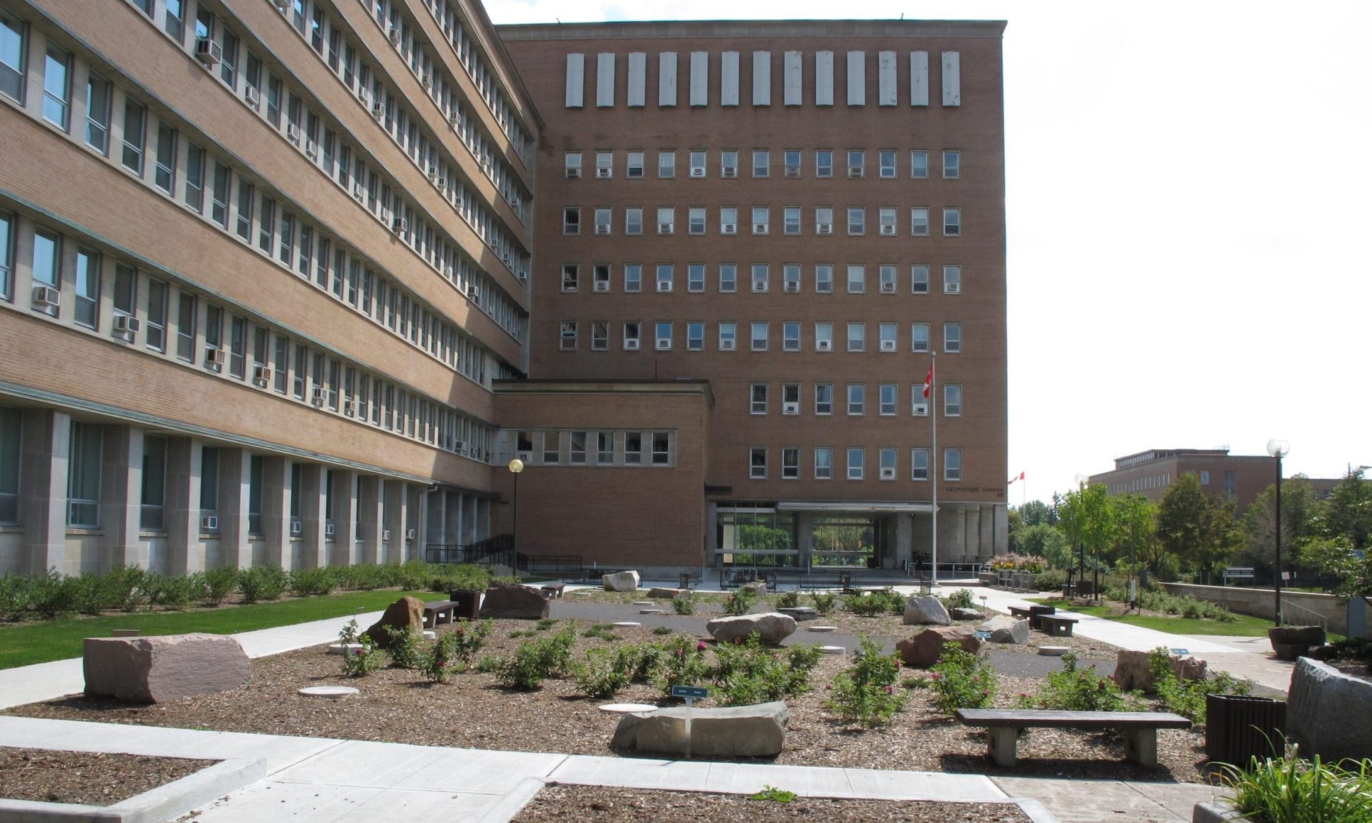
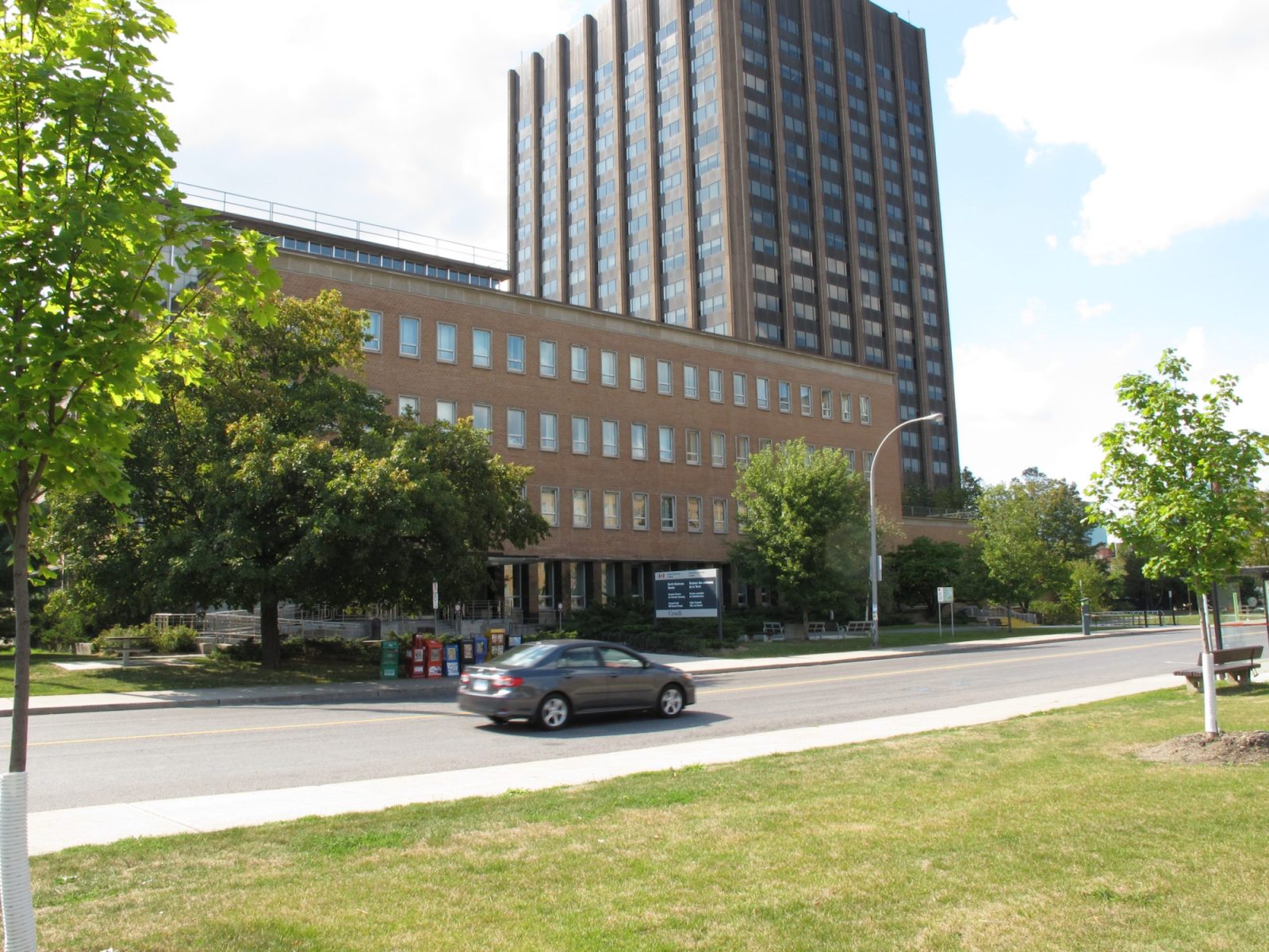
Looking south across the Booth Street forecourt landscaping
-
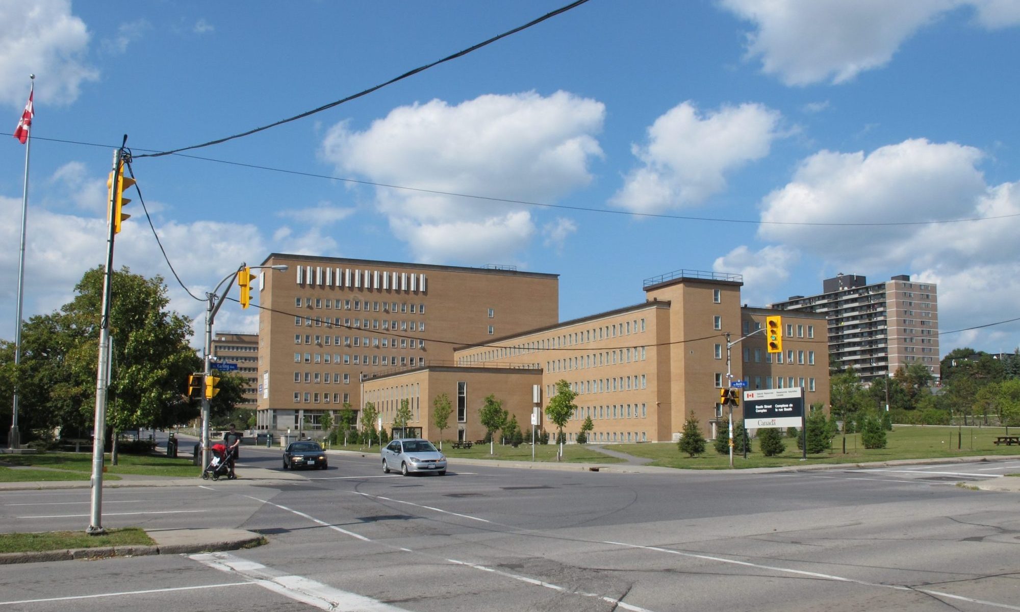
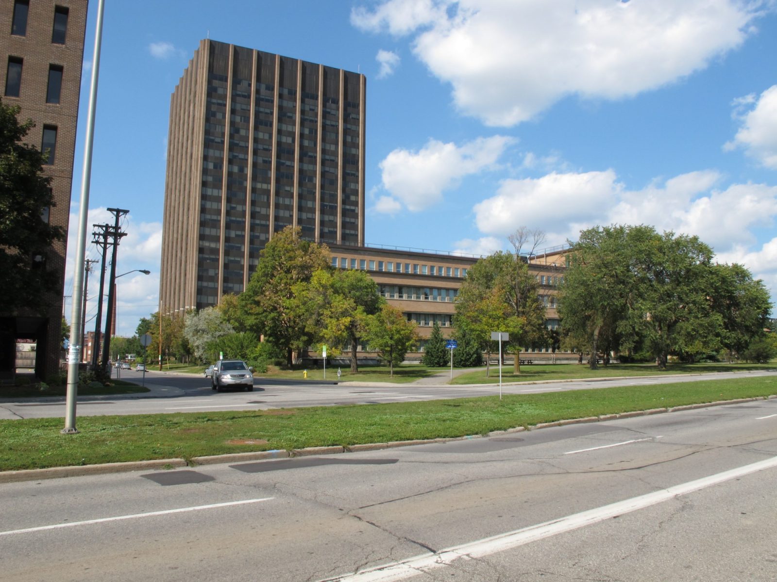
Looking north from the corner of Booth Street and Carling Avenue
-
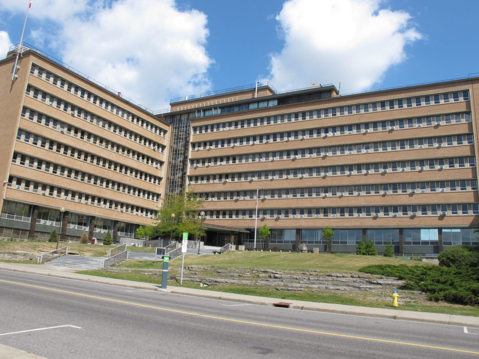
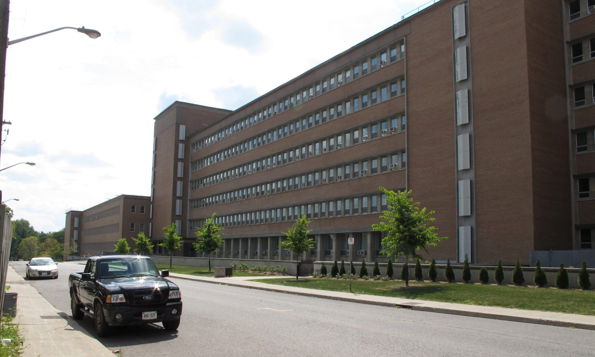
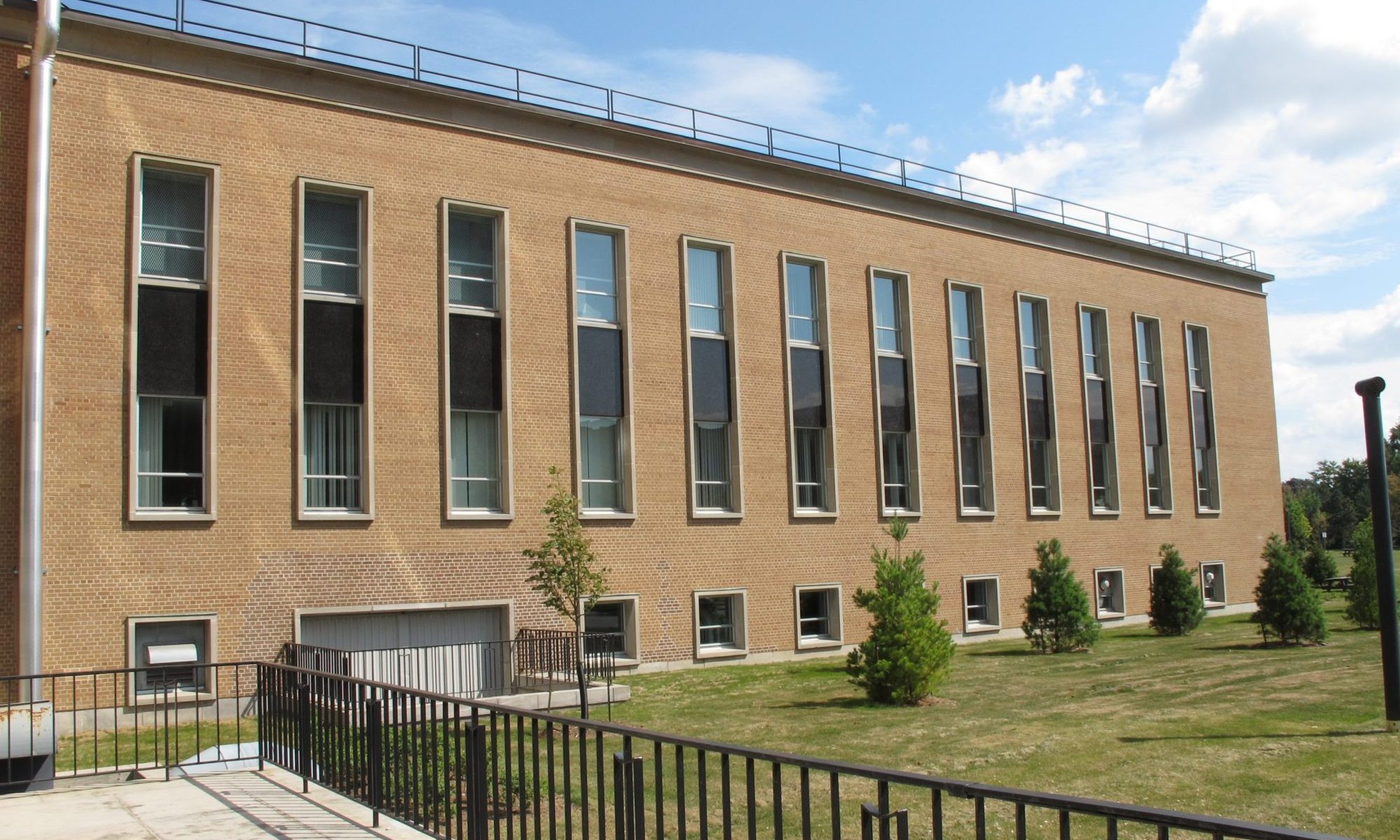
Heavily ordered Lebreton Street South elevation looking north
-
Detail of the intersection of the 3-storey south wing and the 8 storey wing along with the covered entry accessible from the north
-
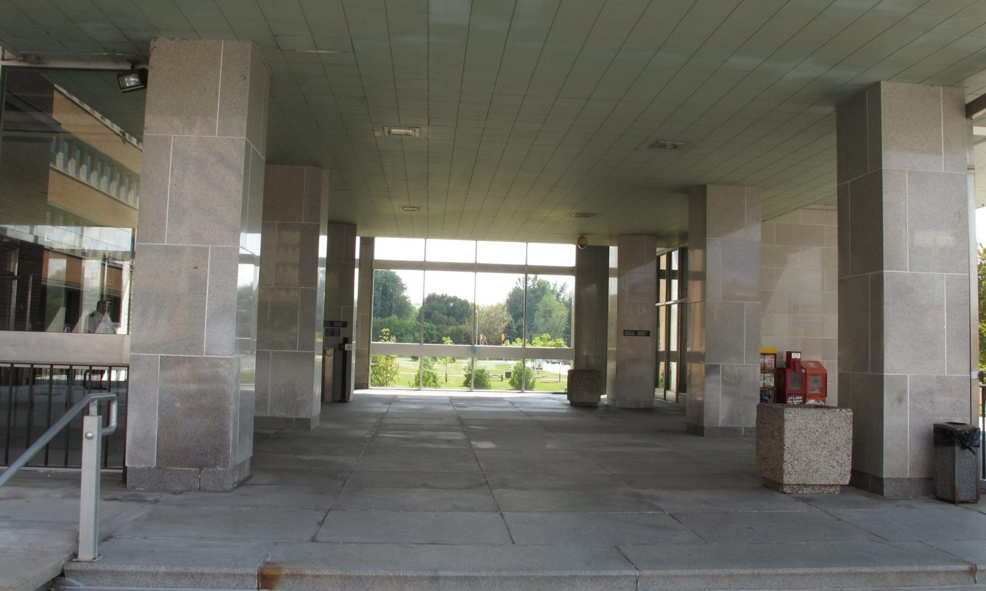
Looking south from within the covered entry area. The entry is on the left
-
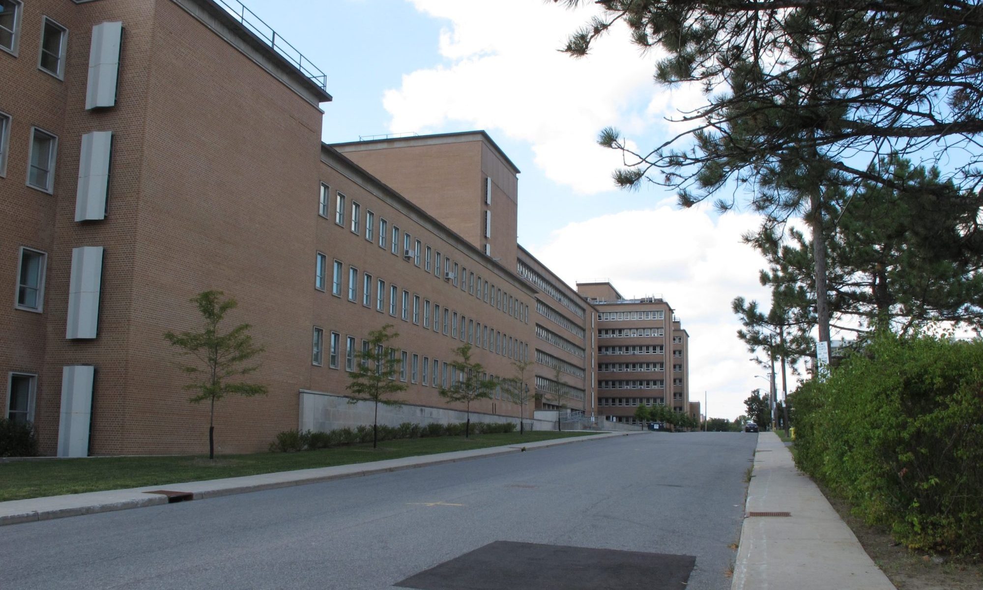
Looking south along the Lebreton Street South elevation
-
Detail of the south wing
-
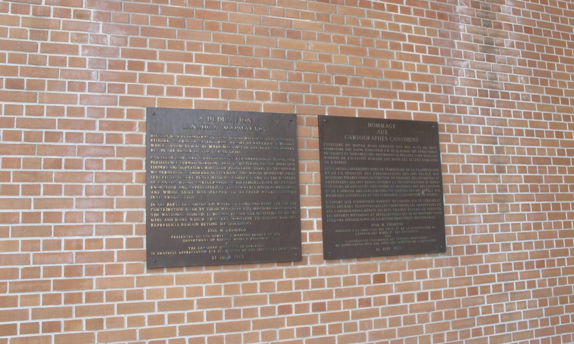
A dedication to mapmakers
-
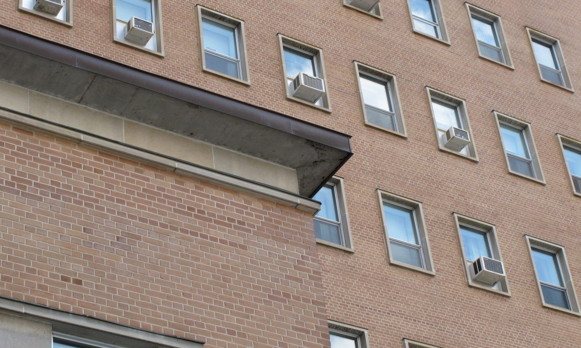
Recessed cornice detail with the regular punched window pattern of the 8 storey wing visible beyond
-
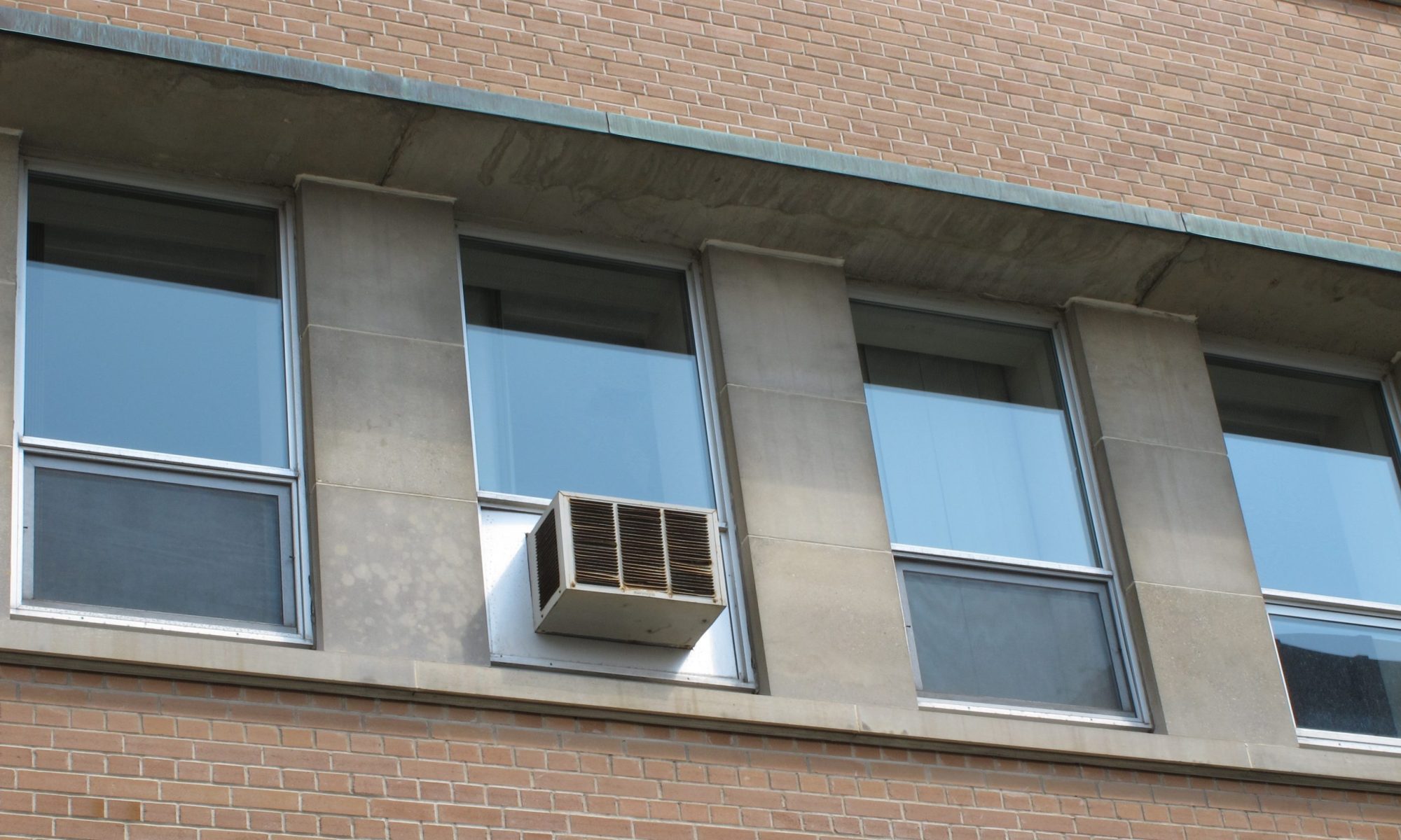
Detail of the horizontal windows with the interspersed window A/C unit
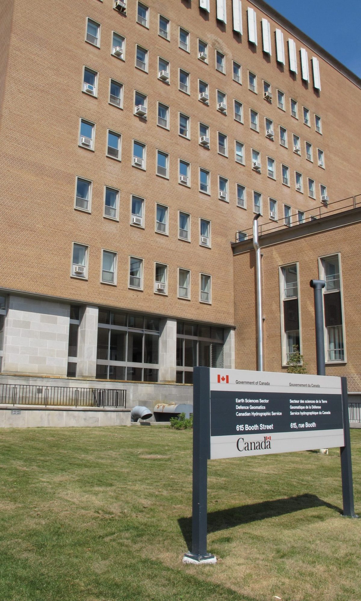
615 Booth Street, Ottawa, ON
Booth Street
Ottawa Core
Office
Allward and Gouinlock
1958
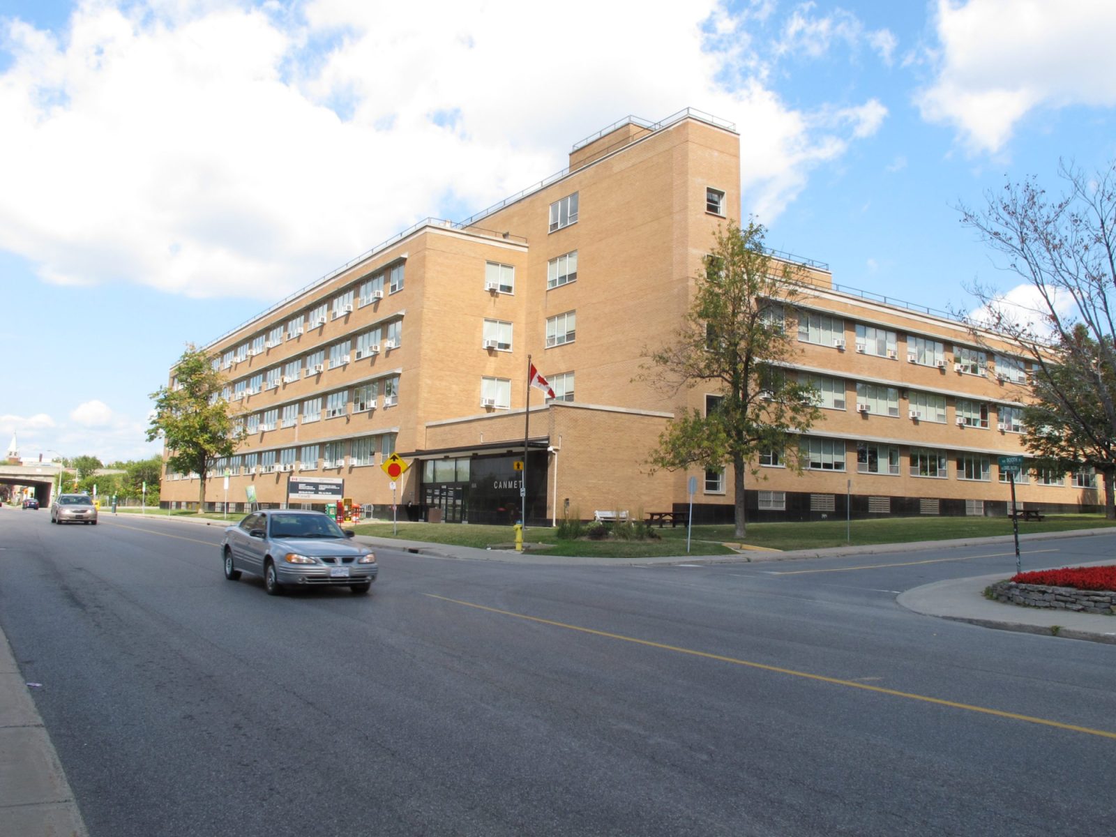
Constructed from 1958 to 1961 to the plans of Allward and Gouinlock, the Surveys and Mapping Building is one half of the large block forming the eastern edge of the Booth Street Complex. Similar to other modern-period buildings in the complex, it is steel frame construction with a flat roofline, horizontally-orientated windows and a buff/brown brick exterior. All of these elements are asymmetrical arranged with blocks of varying heights. Set well back from the surrounding streets the shorter southern block contains the maps library with its vertically orientated windows. The main entry is tucked under the 8 storey perpendicular block, one of the features that differentiates the Surveys and Mapping Building from the Geological Survey Building attached to the north. From the entry, visitors can access the maps library and office workers can access their offices using vertical circulation.
To the north of the main entry is another seven storey wing that is set parallel to Booth Street. This wing is characterized by an extreme horizontality with each floor of vertical windows being set in continuous horizontal stone bands, complete with solid brise-soliels above. Grounding this block are a series of engaged stone pilasters that separate the ground floor glazed areas. Continuing further north, the Surveys and Mapping Building is connected to the adjacent Geological Survey of Canada Building by a full height brick mass that is set in plane with the Surveys and Mapping Building along Booth Street.
Integrating the building into the larger campus is a large landscaped area situated between Booth Street and the building. This landscaped space with its various terraces and geological formations is an integral part of the building design. Together with the adjacent Geological Survey Building this landscape is the most considered application of landscape design in the campus and is best experienced in warmer months, when all of the different elements are visible.
On the interior a limited palette of durable materials is employed within the public areas including terrazzo, linoleum, stainless steel and stone panels in select areas. The main entry lobby is polygonal in shape and is finished with warm brown marble with dark green base mouldings, fluted pilasters, stone flooring and stainless steel doors. All of the finishes and the arrangement of the space create a restrained, but dignified composition.
The overall building does not interact directly with the Booth Street sidewalk as this relationship is mediated by the landscaping. Along the eastern edge of the site, the building is set back from the sidewalk by a landscaped boulevard and a low granite-clad wall that marks the edge of a deep sunken area that provides natural light into a lower floor. The main portion of the east elevation is horizontally-focused with a similar windows and cladding arrangement as the west elevation. Although this elevation does not generate interest at the ground level, the setback and middling height of the masses provide a comfortable scale to the pedestrian realm. It is clearly the back, but creates a comfortable pedestrian experience.
About the Booth Street Complex
There are four modern-period buildings situated within the Booth Street Complex that were constructed during the last half of the 1950s marking a significant expansion of this existing government complex. It also reflected the government’s policy of decentralization under the Greber Plan. Other government complexes constructed during this period include Tunney’s Pasture and Confederation Heights. The complex also reflect the important role of National Resources Canada in the mapping and exploration of Canada’s vast and varied geographic regions as well as its role in the development of Canada’s mining sector. Architecturally, the four modern-period share a number of common design traits most commonly associated with International Style architecture which is characterized by “clean lines, legible structure, an asymmetrically balanced composition and a building form which expresses internal functions.” – FHBRO Heritage Character Statement.
The cohesiveness of the complex is aided by the shortness of construction, similar design characteristics of the complex’s buildings, and well-considered landscaping. According to the FHBRO Heritage Character Statements for all of the modern buildings, all buildings “contribute to the campus-like stetting of the NR Can complex through [their] complementary massing and formal relationship to adjacent buildings. The landscaped open spaces between the buildings were included as integral to the original design; this feature has been been maintained and enhanced since the [complex’s] construction.”