Lebreton Flats
-
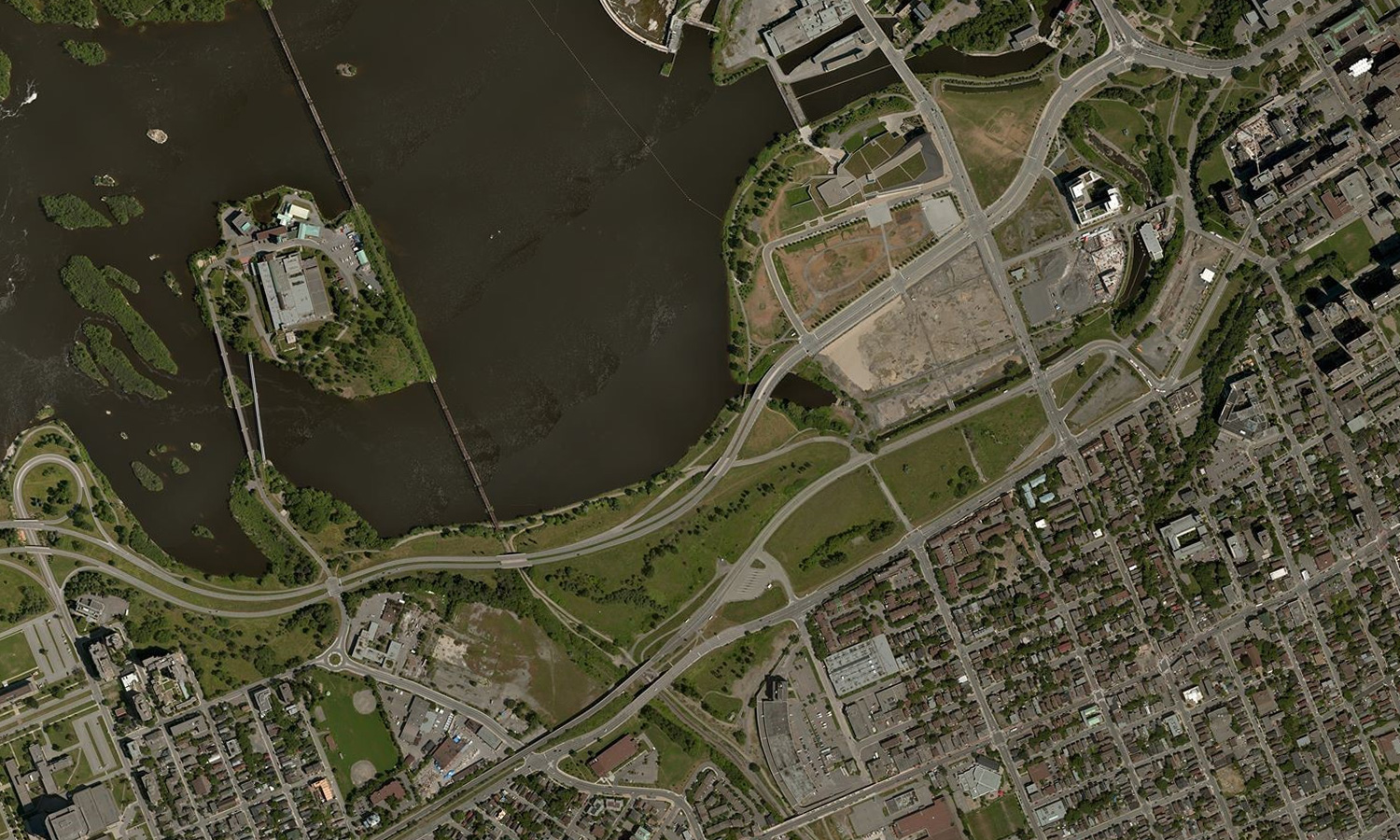
Aerial view of Lebreton Flats (Bing Maps)
-
Looking north towards Gatineau and the War Museum from Albert Street
-
Looking north towards the War Museum, the first building constructed on Lebreton Flats since the are was demolished
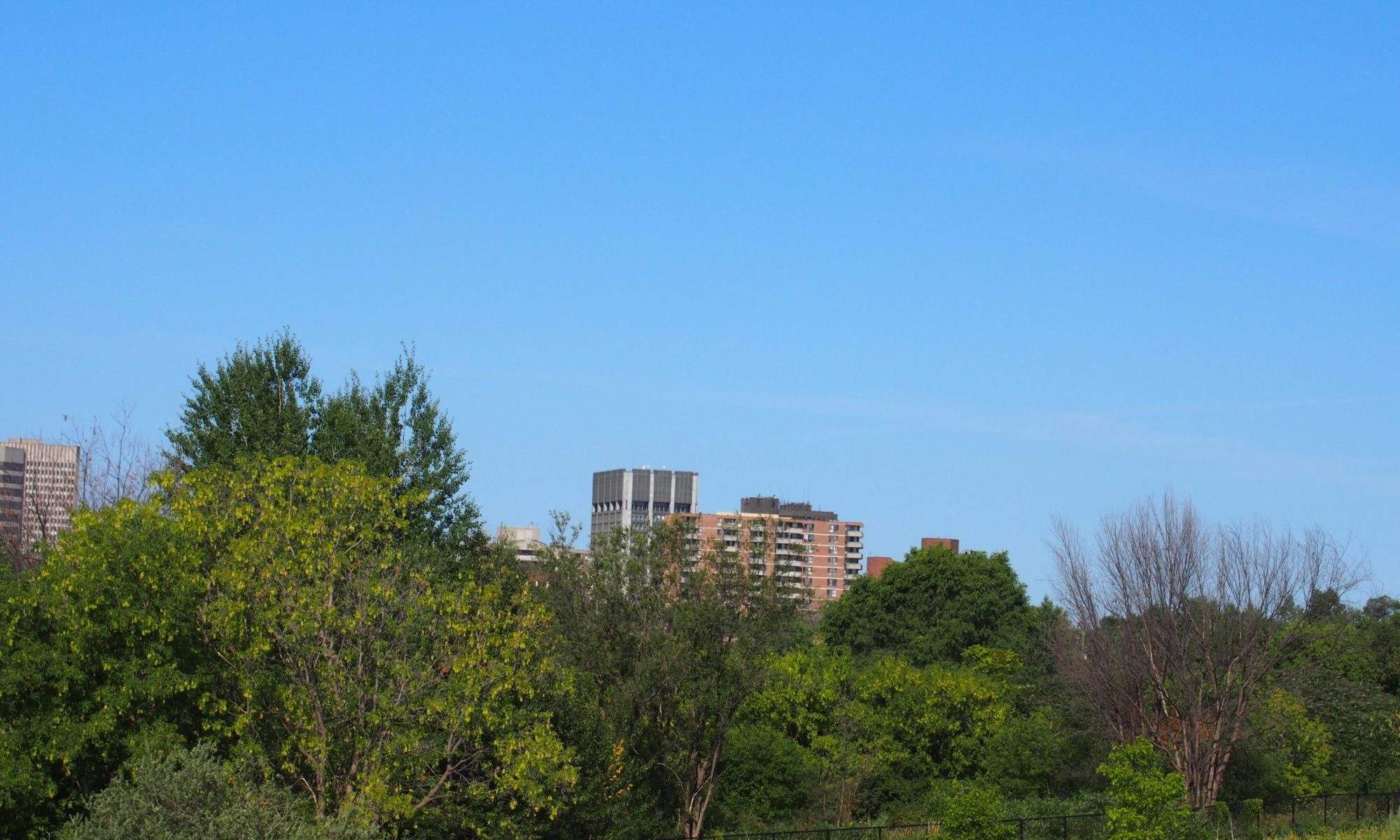
-
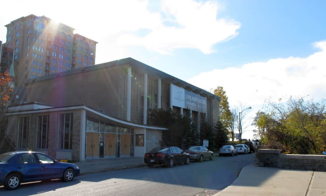
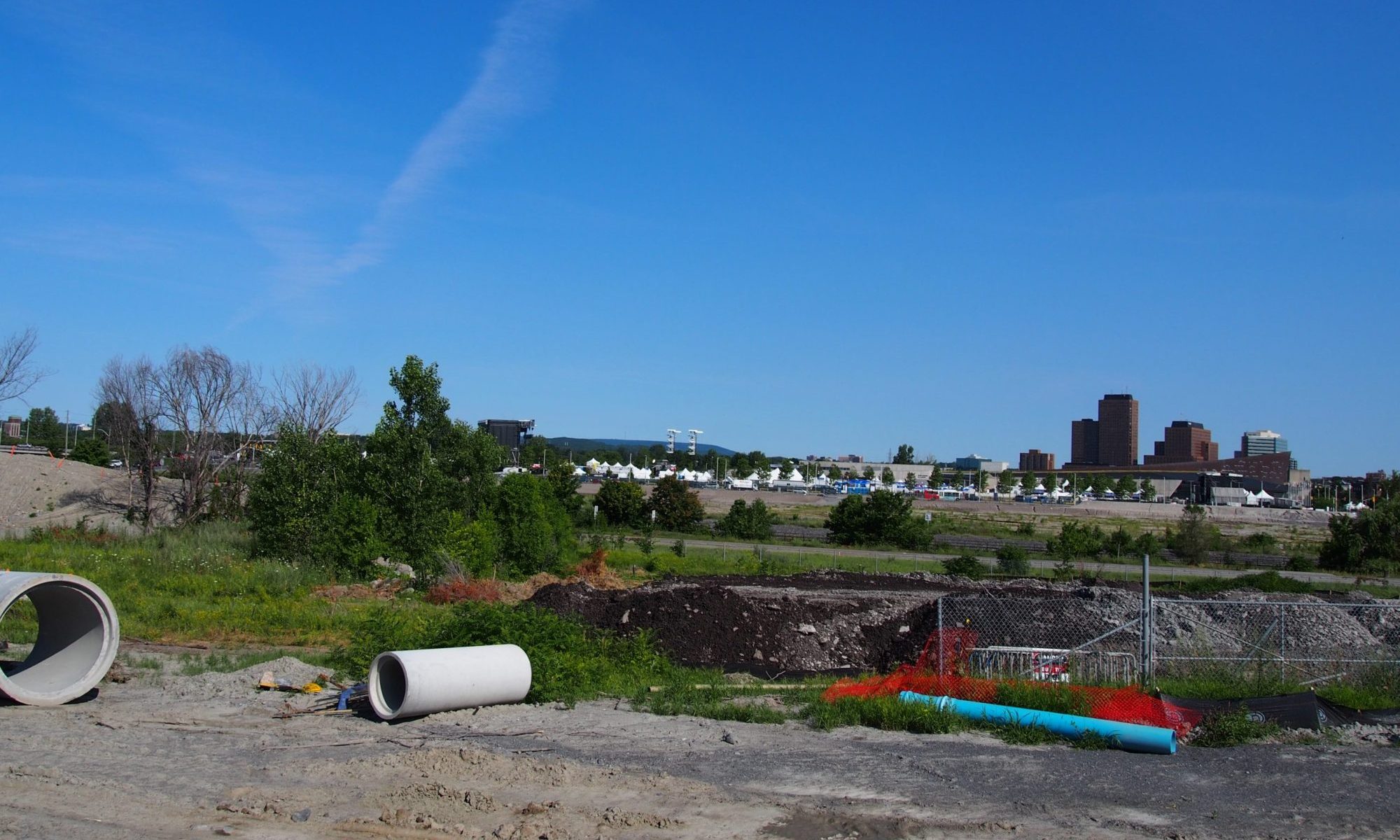
Looking east towards downtown
-
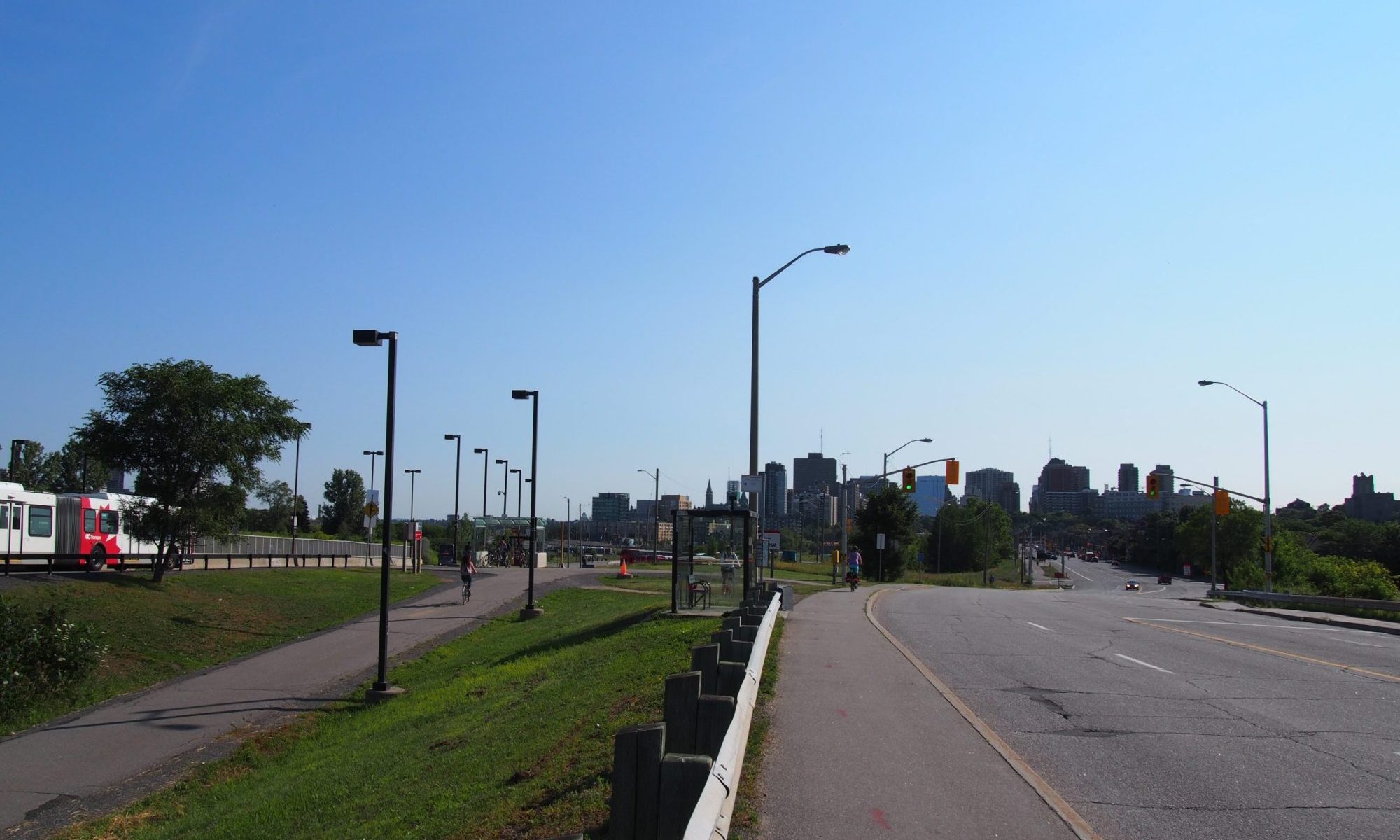
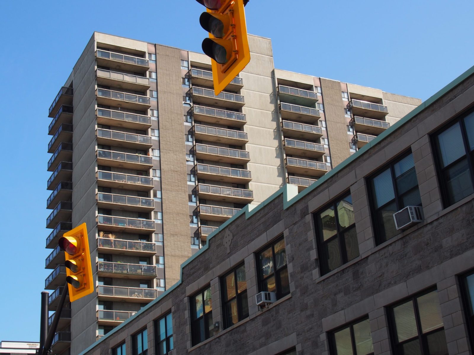
Looking east towards downtown Ottawa with the Transitway on the left
-
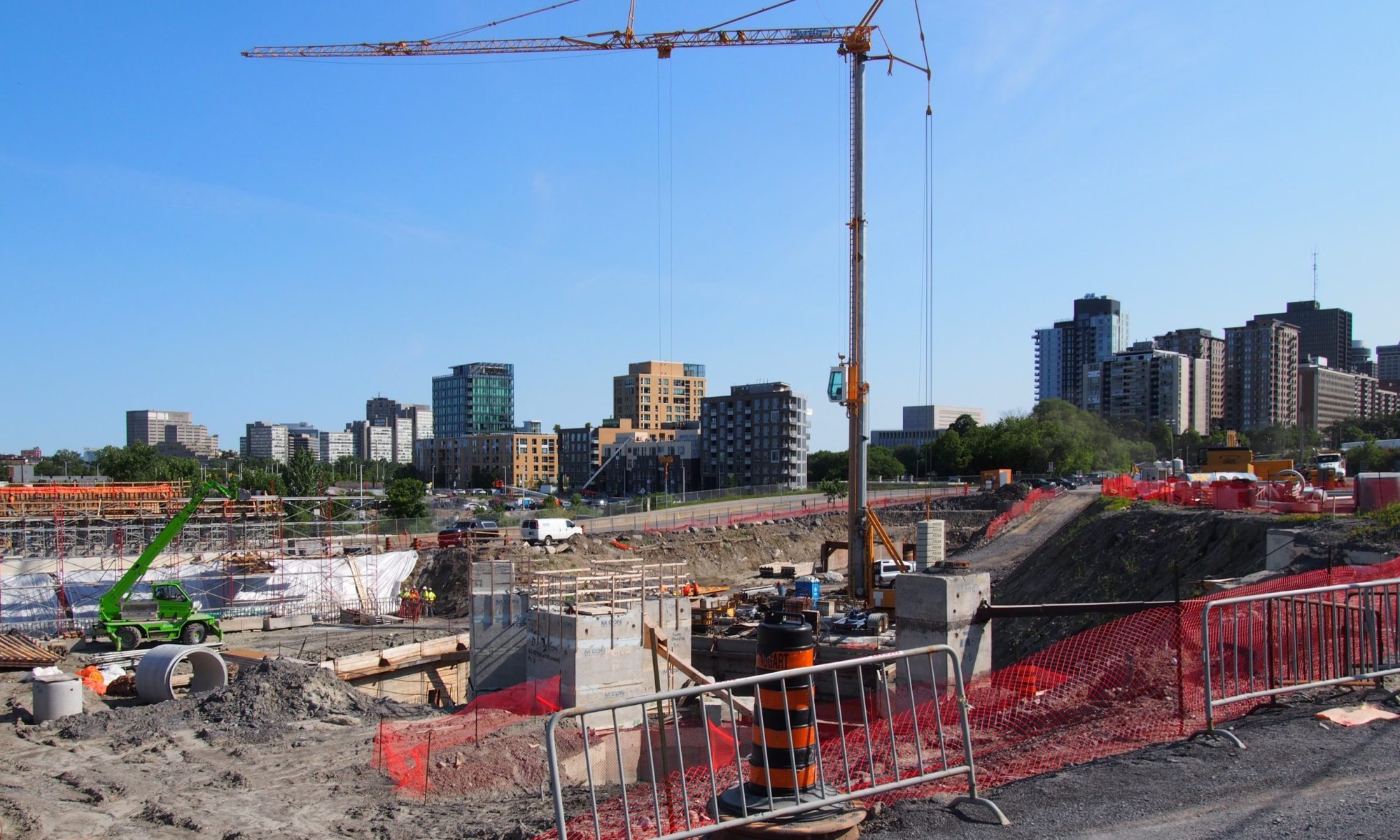
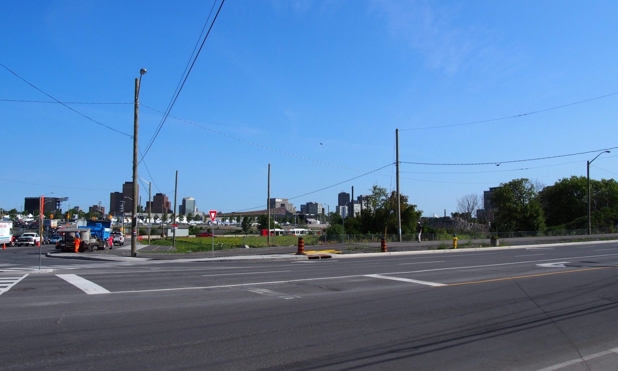
Looking east towards the redeveloped area with LRT construction in the foreground
-
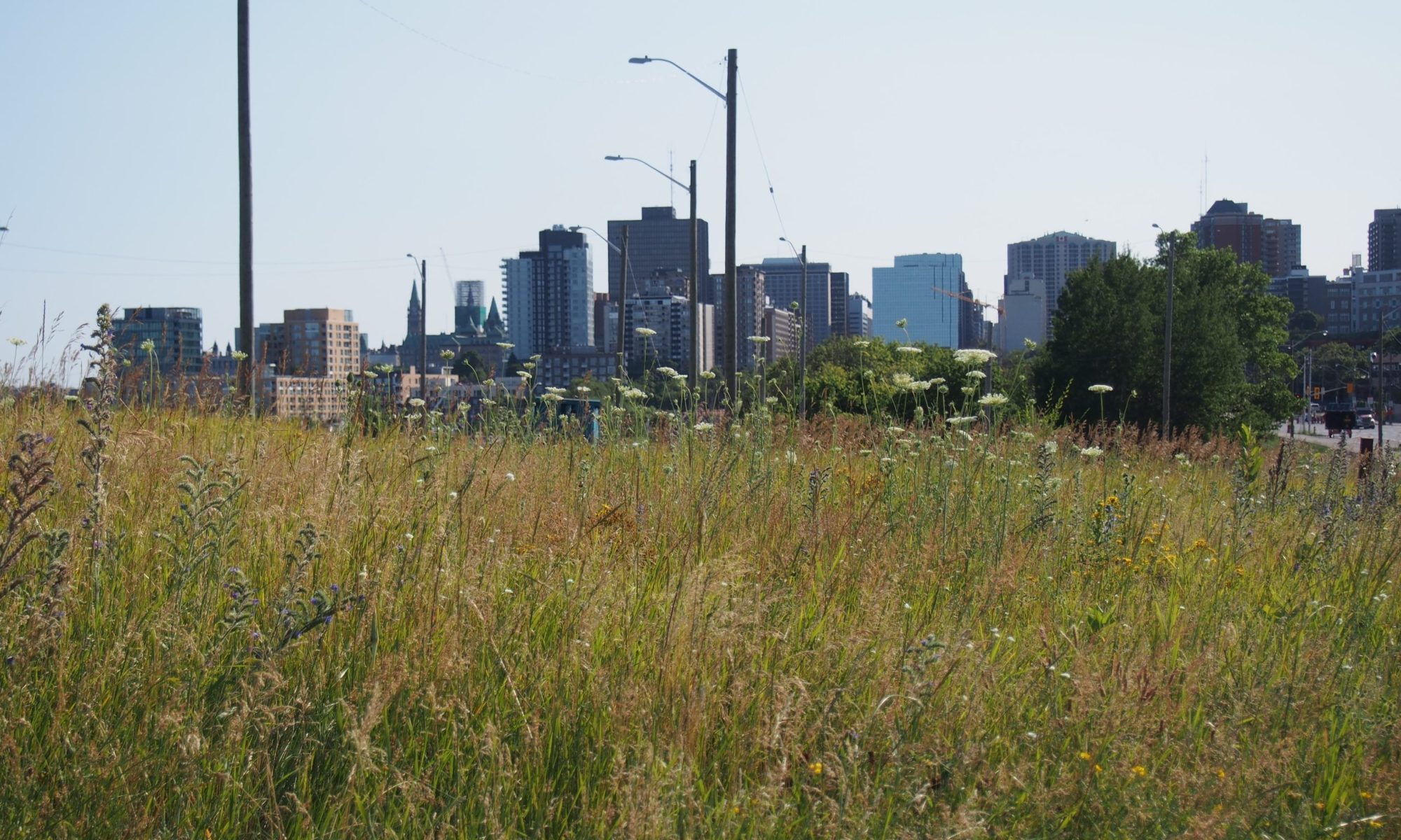
Looking west towards Tunney's Pasture from Lebreton Flats
One of the most notable developments in the national capital region to occur during the second-half of the twentieth century, Lebreton Flats is a cautionary tale and the largest example of half finished plans in Ottawa. While other plans, such as the Macdonald-Cartier Bridge to Vanier Parkway plan or the grander ambitions associated with the Mackenzie King Bridge result in odd pieces of urban infrastructure and pinch points in Ottawa’s transportation network, the wholesale demolition of Lebreton Flats, started in 1962, resulted in the loss of a large mixed residential and industrial neighbourhood. Once the clearance was completed the plan was to redevelop the area as a large multi-building Federal government campus, specifically for National Defense. However, after the demolition was completed, the Government shelved the campus plan for a variety of reasons.
The result was the removal of 2,800 residents from the western edge of downtown Ottawa, along with extensive rail networks, industrial factories, workshops and storage along with the associated jobs that accompanied these uses. The 1960s were an important period in Ottawa’s development with the quickening pace of development in the west end of downtown Ottawa, decentralizing of the civil service and the removal of passenger and freight rail uses from downtown. Along with the plans for Lebreton Flats the above measures were all part of the Greber Plan.
Between the 1960s and the 2000s Lebreton Flats was the subject of a number studies for redevelopment and use even including as a site for a World Exposition, but its primary use was camping and large festival gatherings. The National War Museum, would be the first building to be constructed on Lebreton Flats since the removal of all previous uses, completed in 2005 (Moriyama & Teshima Architects, in joint venture with GRC Architects).
The first building completed as part of the phase 1 redevelopment, located on the eastern portion of the National Capital Commission Lands (closest to downtown) were completed in 2008. As of 2015, the third and last building of phase 1 is in the process of being completed. Other recently completed initiatives include improvements to the Fleet Street pumping station, realignment and enlargement of Wellington Street (connecting to the Sir John A Macdonald Parkway) and enlargement of Albert Street along the southern border of Lebreton Flats. The request for qualifications for the phase 2 redevelopment was issued in 2015 with 5 respondents being selected to proceed to the next stage.
At 84 hectres of largely vacant lands, Lebreton Flats is one of the largest available land banks within the urban boundary and could potentially be an area that defines Ottawa’s urban future. It is not often that a city has an opportunity to develop a centrally located neighbourhood from scratch, especially at this scale. How this area is developed will provide a conclusion to the story that started in 1962 with the removal of all structures in the area. Hopefully, the area’s redevelopment will be completed in time for the 100th anniversary of the demolition. There are a number of positive factors that may see the area’s redevelopment accelerate including the completion of the new LRT near the northern border of Lebreton Flats in 2018 along with the redevelopment of the Domtar, former industrial lands to the north of the Flats. Overall, even if the full redevelopment is complete before 2067 it will likely take until then for the resultant area to develop a sense of place and its own character. Only then will Ottawa and the National Capital region be able to judge if it is a neighbourhood or just an area.
Suburban Ottawa