Geological Survey of Canada Building
-
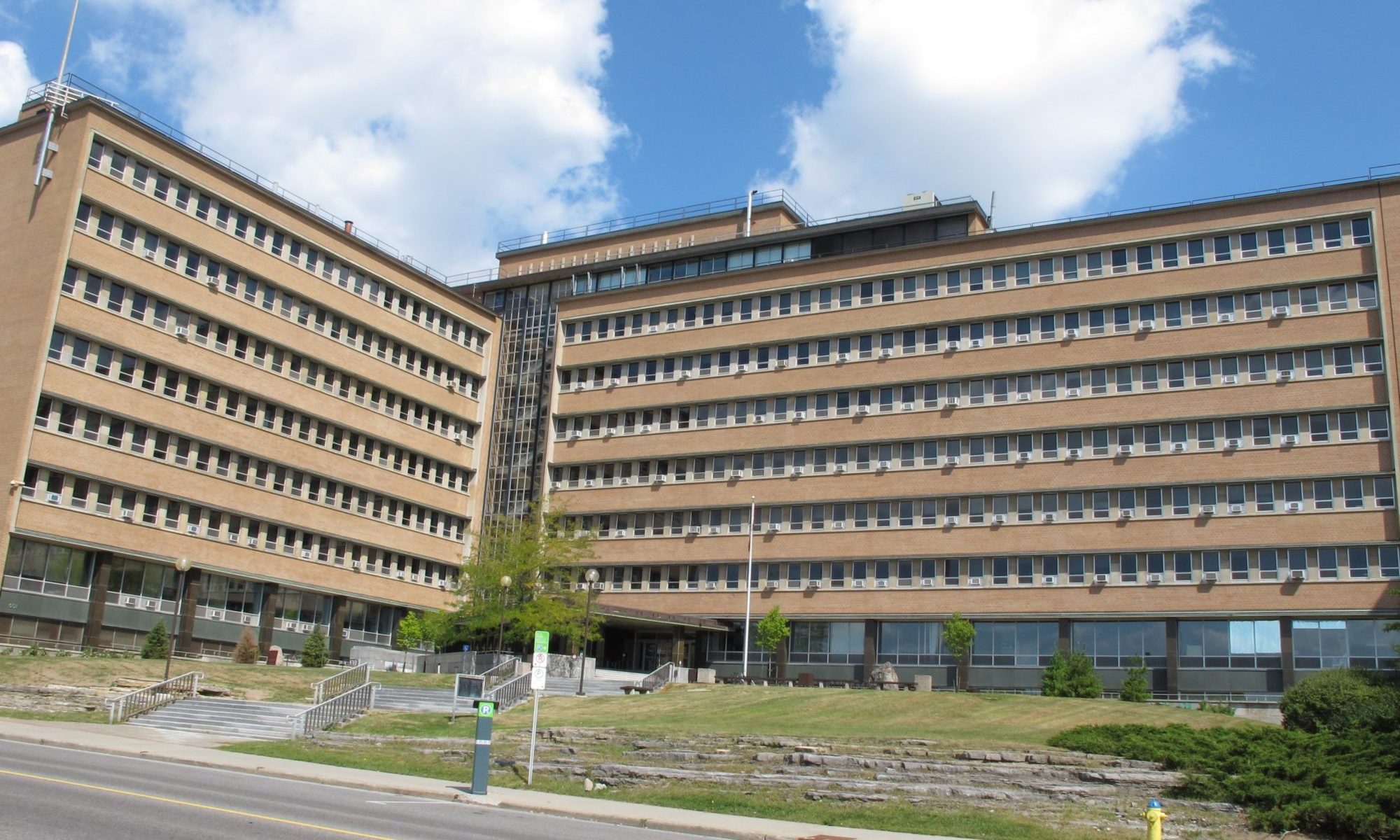
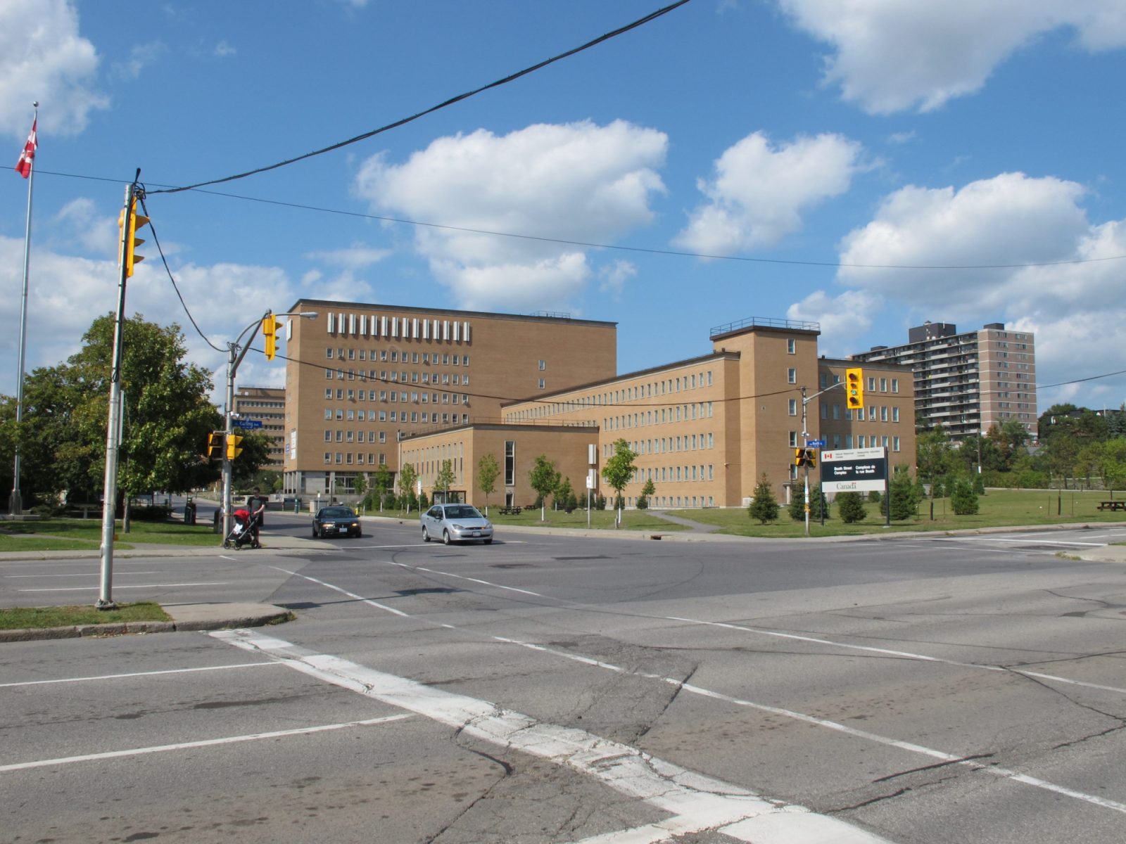
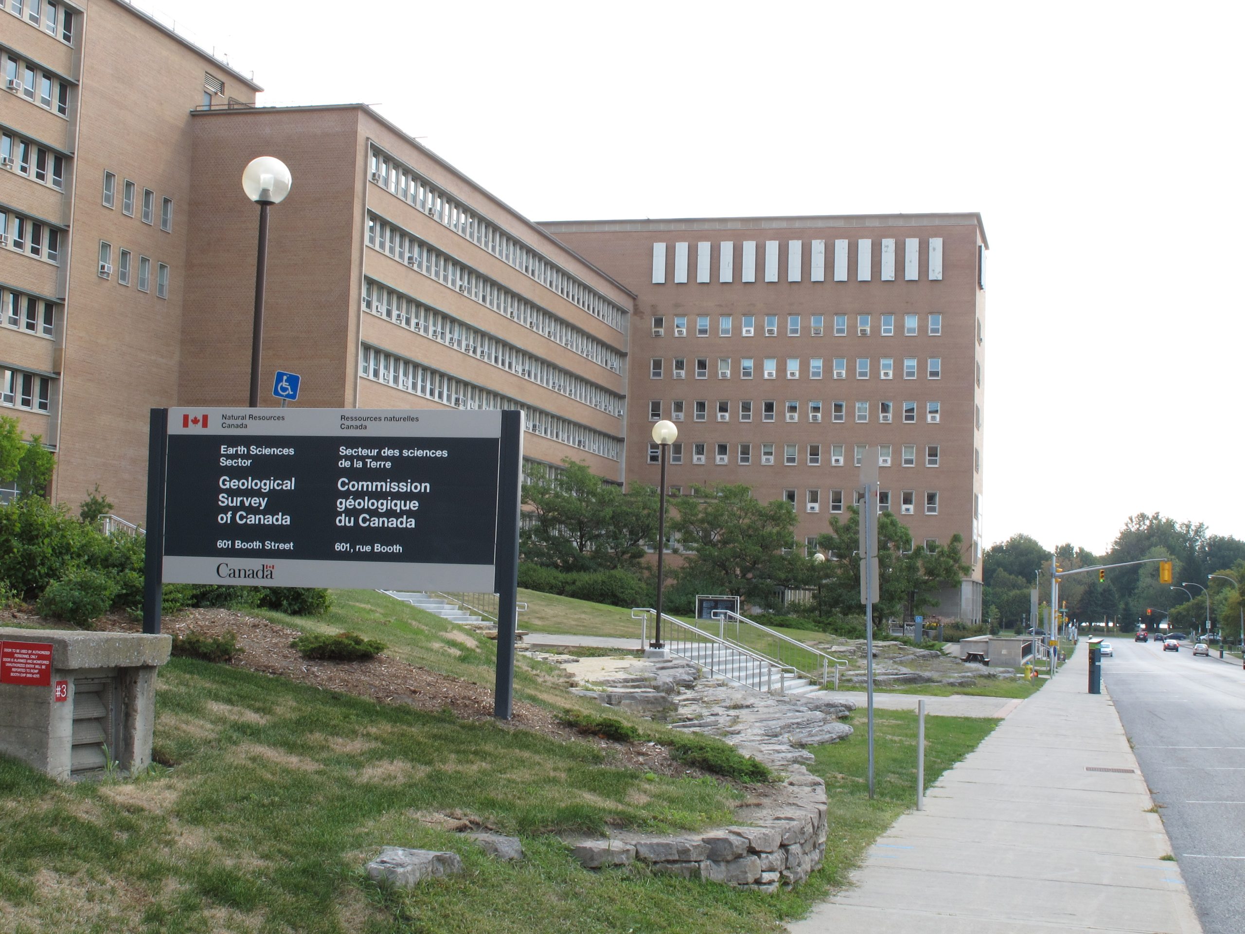
Geological Survey building as seen from Booth Street
-
Looking northeast towards the main entry with the glazed stairwell interface visible in the background
-
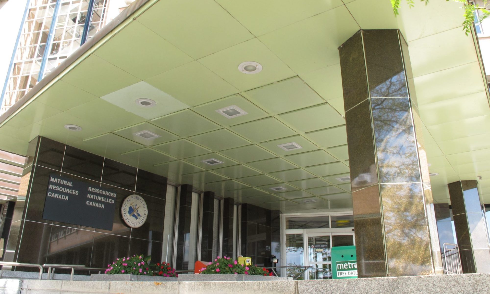
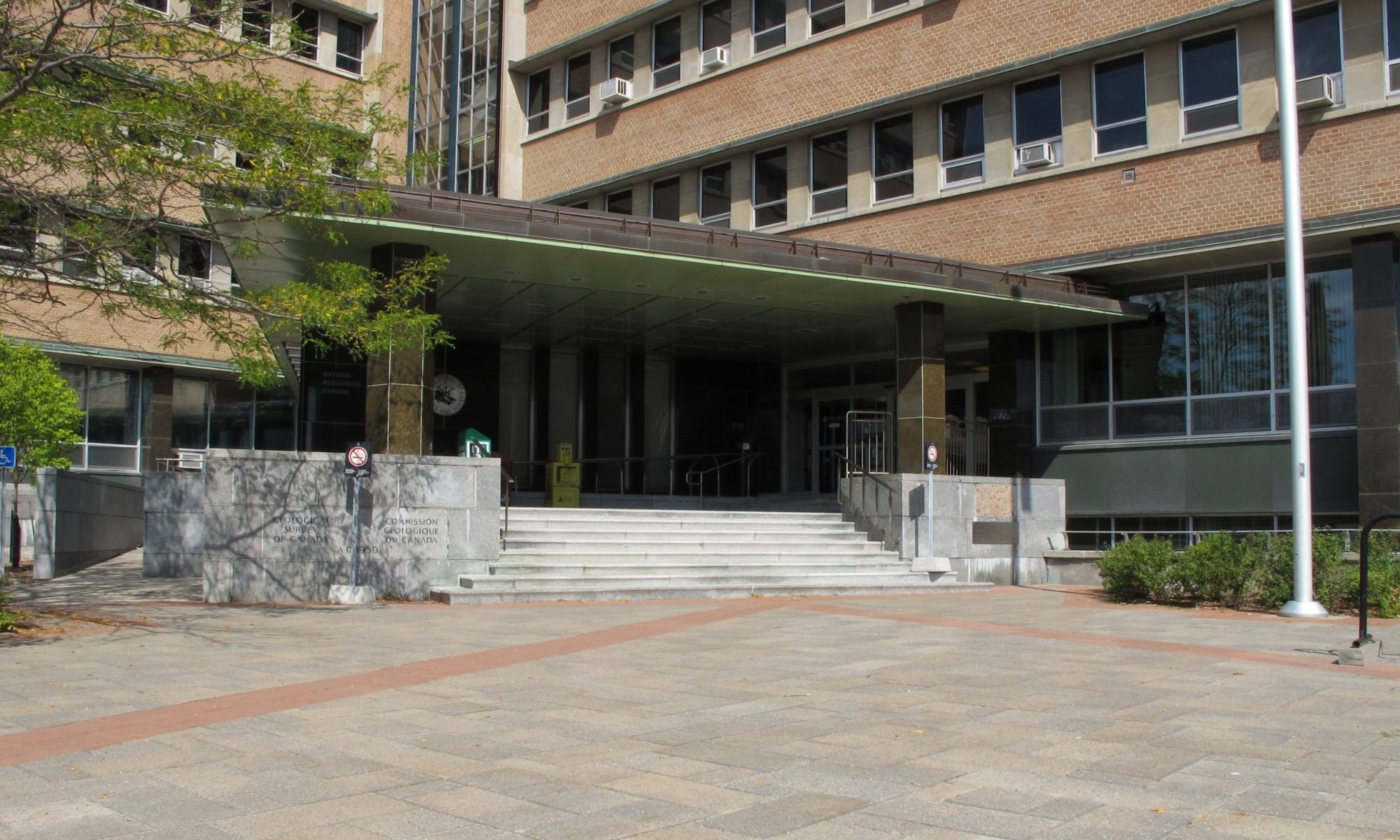
Detail of the entry canopy and main entrance located at the intersection between the two primary wings of the building
-
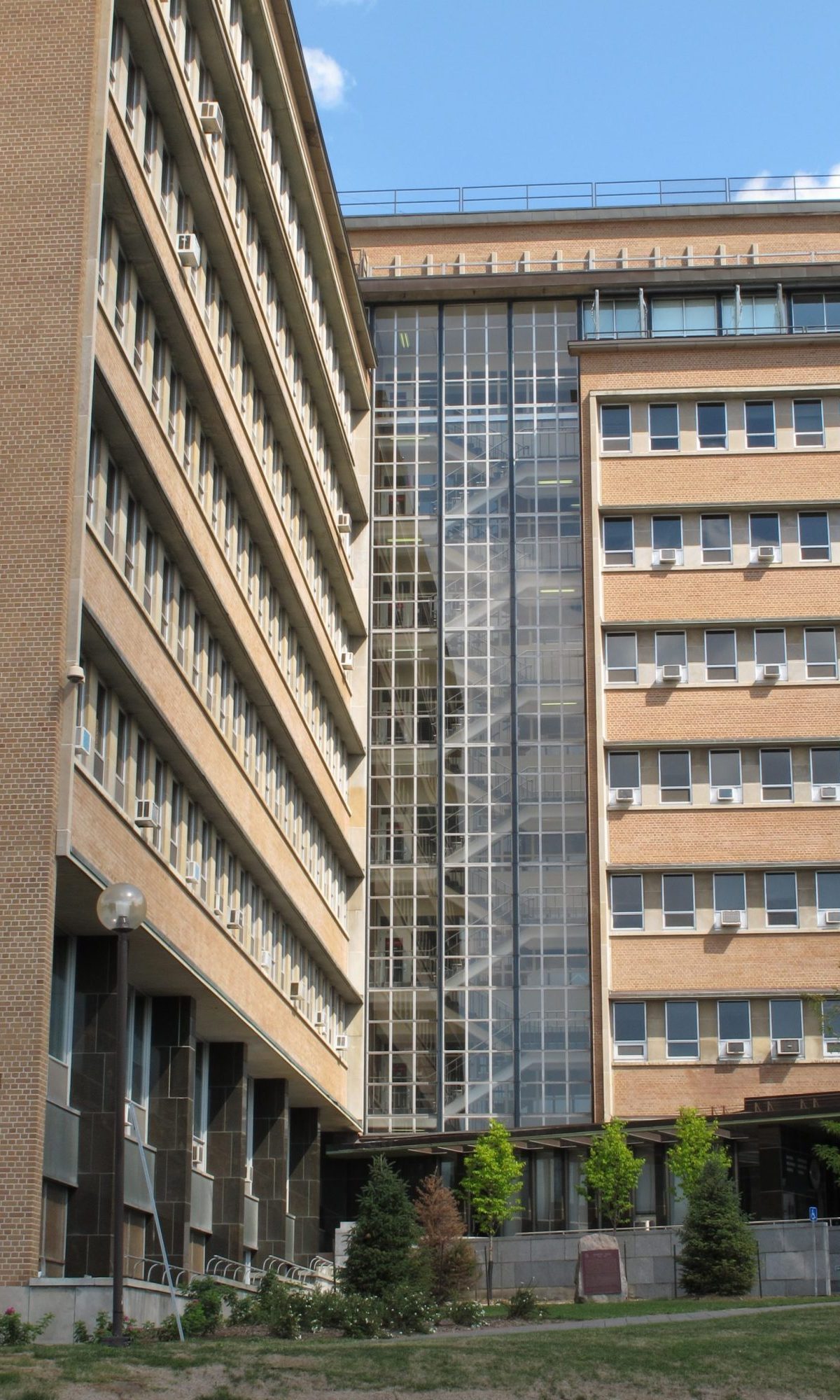
Stairwell interface between the east-west wing and the north-south wing
-
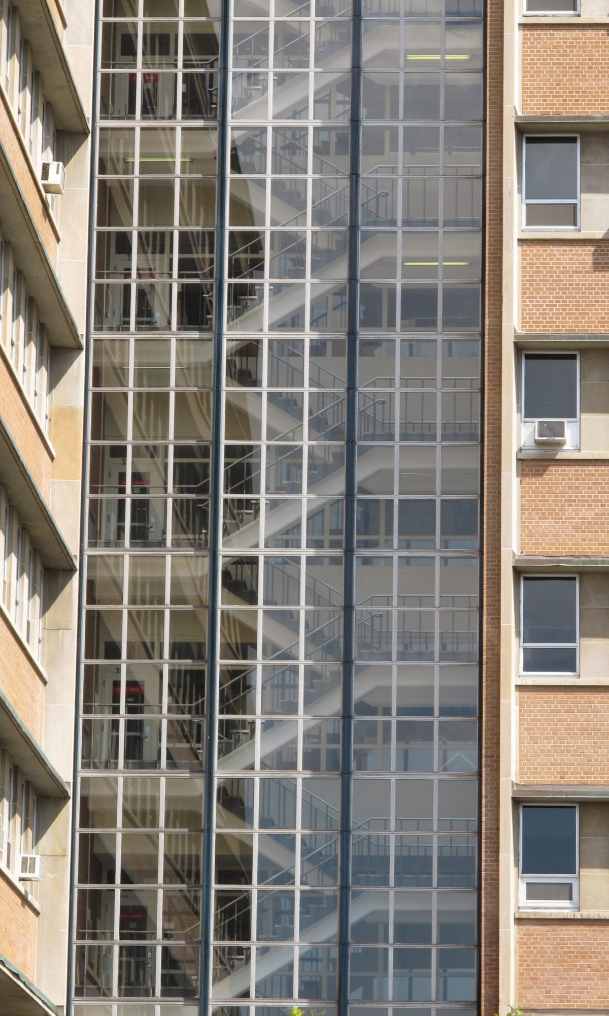
Detail of the glazed stairwell interface
-
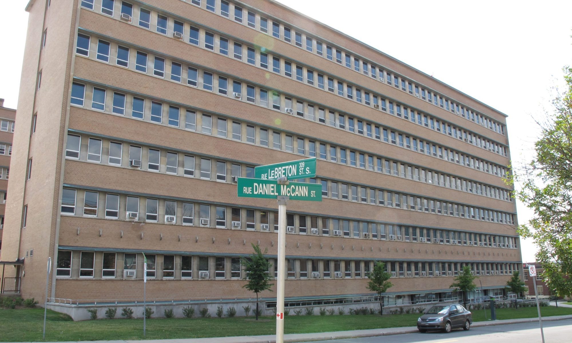
North elevation of the building along Daniel McCann Street
-
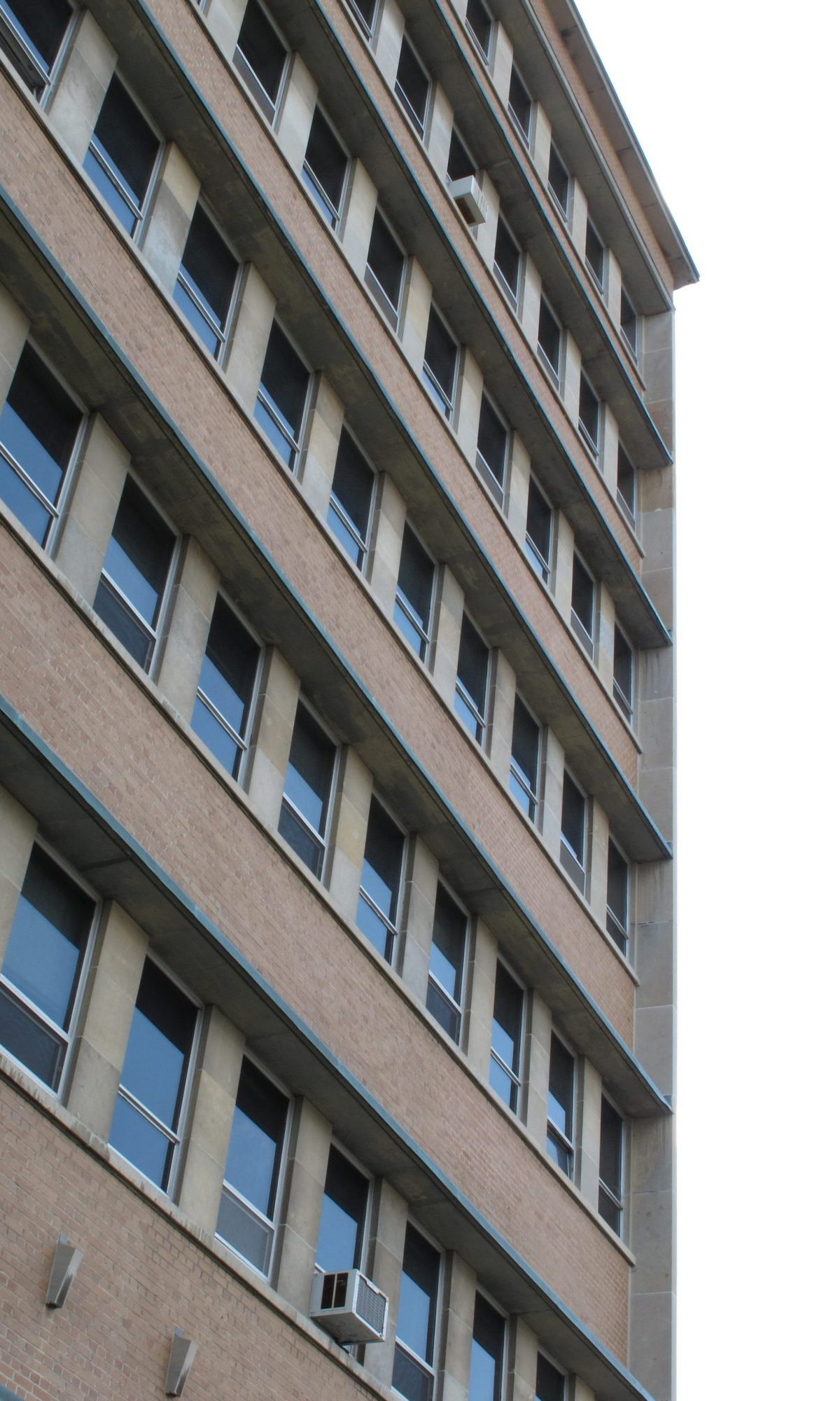
North elevation detail at the west end
-
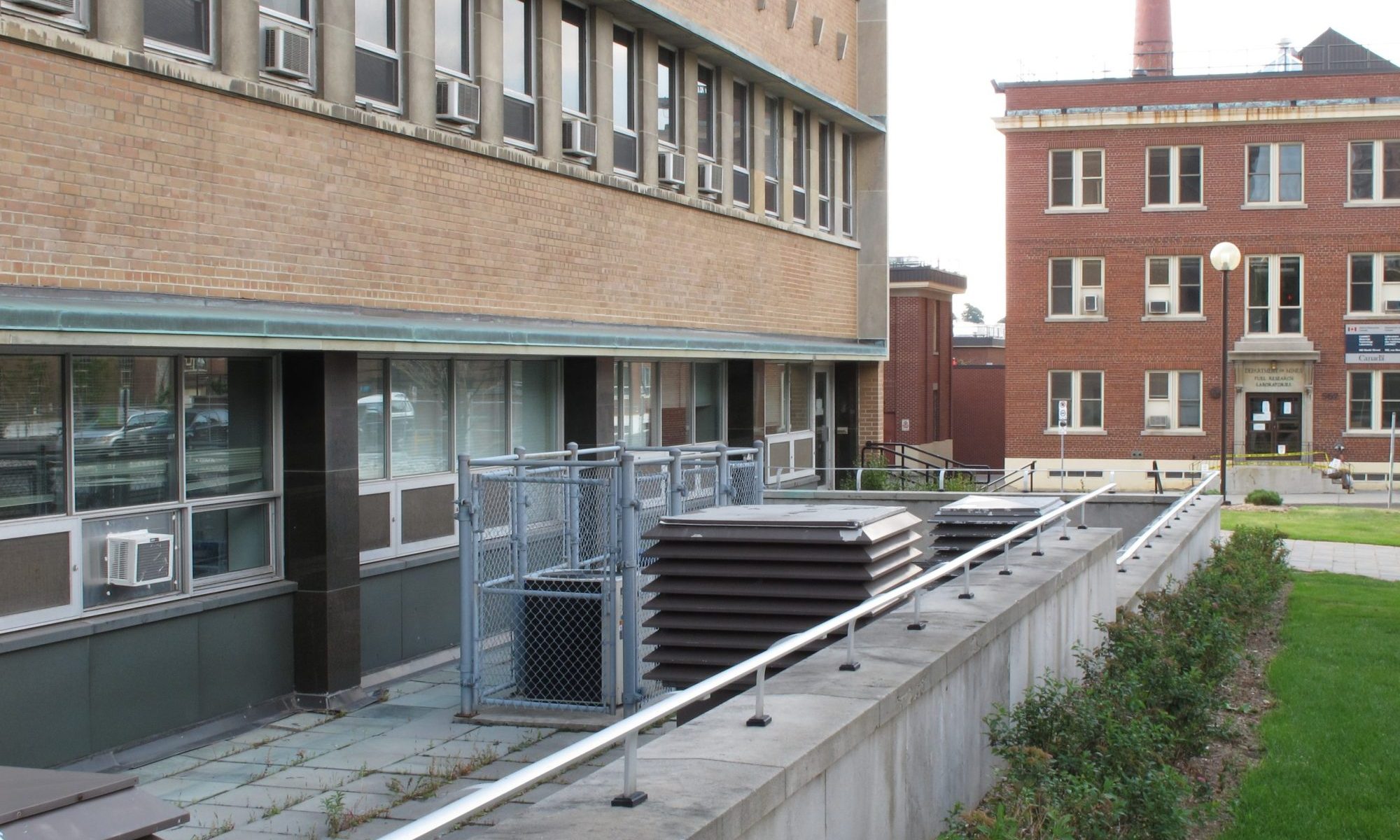
Mechanical equipment placed along the the north elevation street edge
-
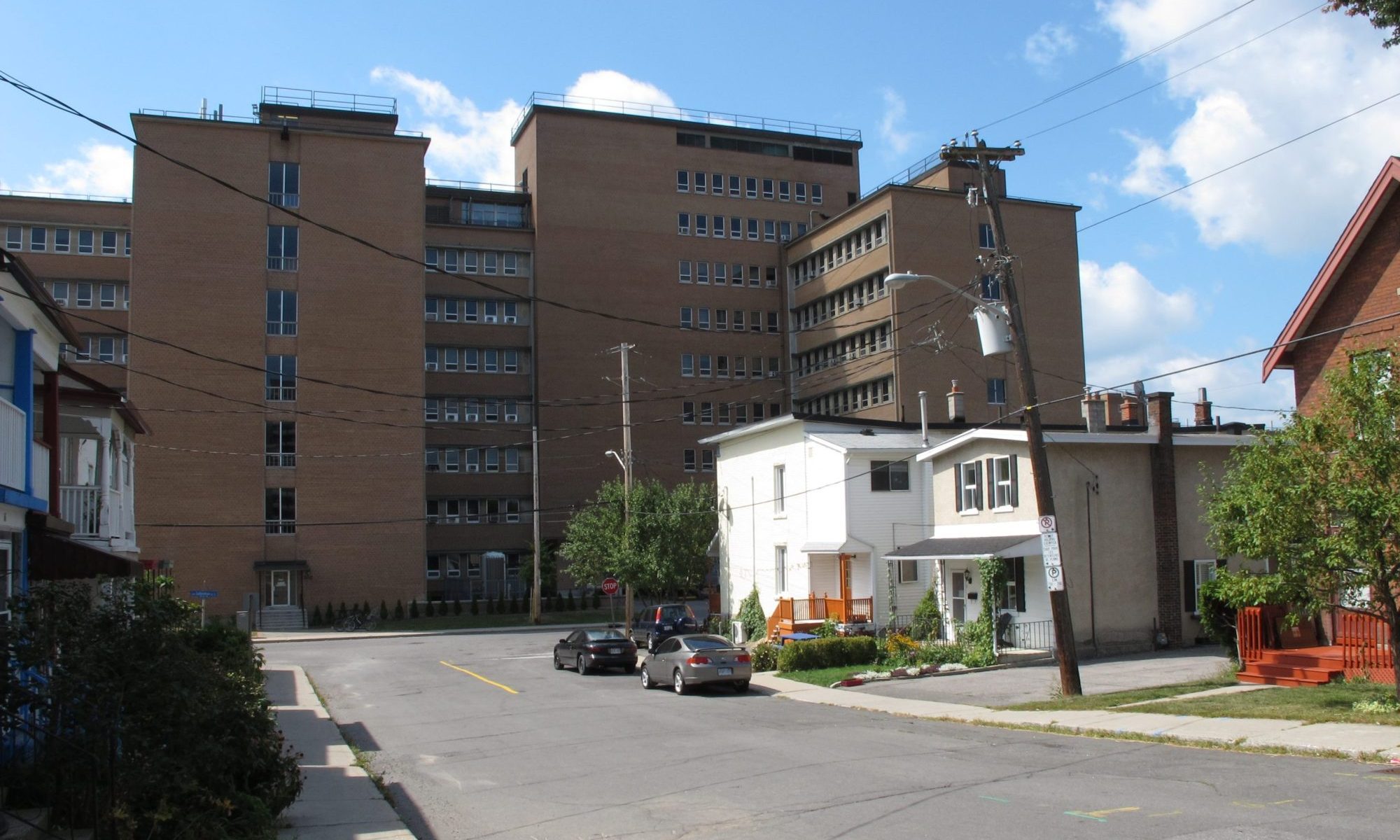
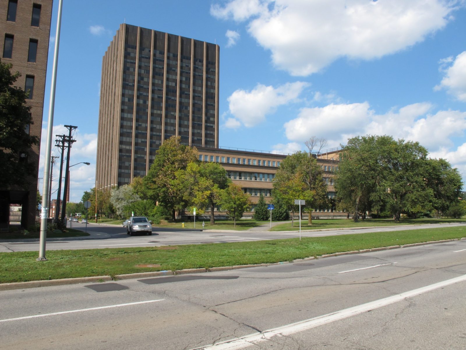
Looking west from the Dalhousie South residential neighbourhood towards the east elevation of the Geological Survey Building
-
Looking south towards the Surveys and Mapping Building. The Geological Survey Building is off to the left
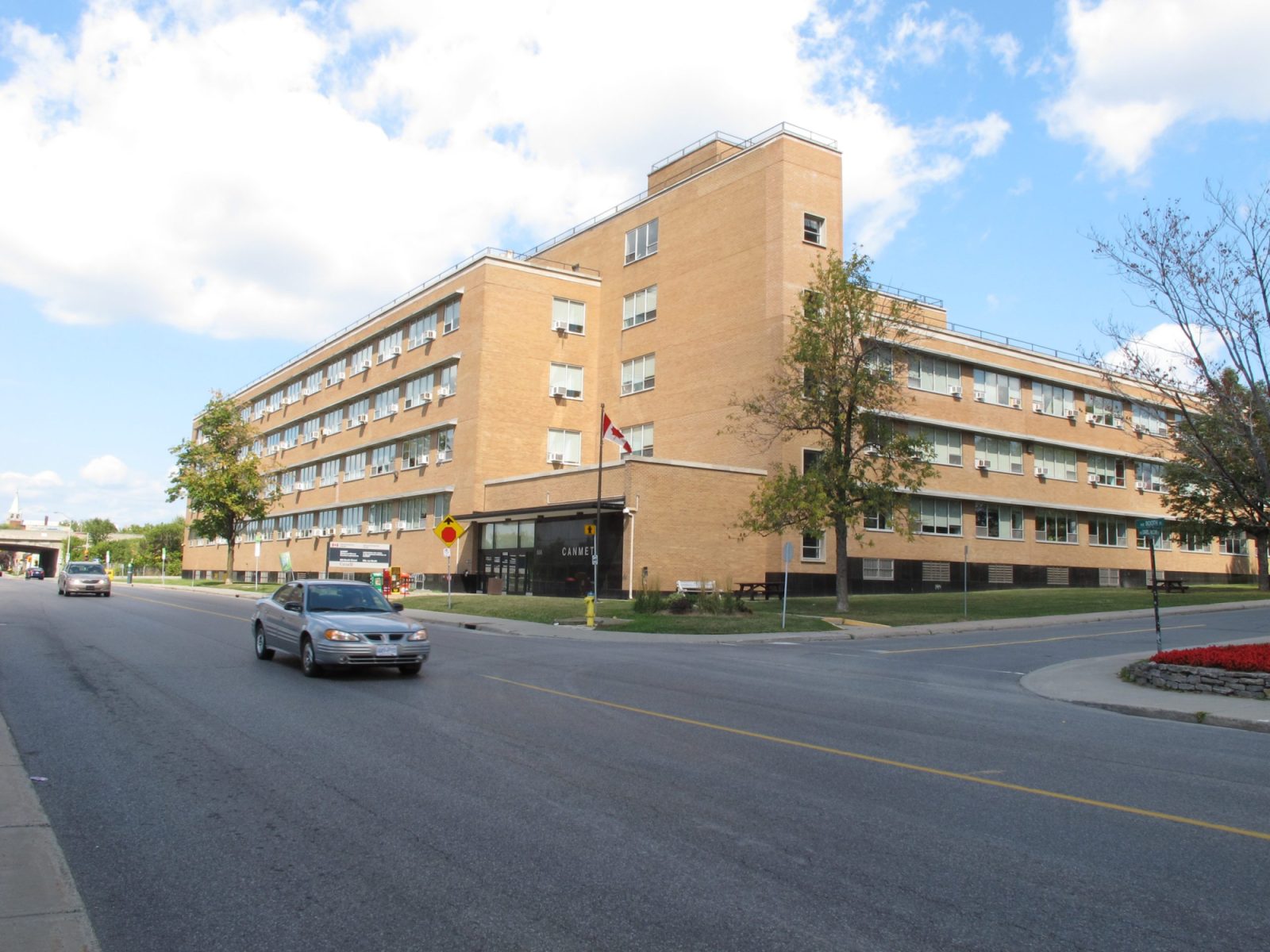
601 Booth Street, Ottawa, ON
Booth Street
Ottawa Core
Office
Allward and Gouinlock
1955
Constructed between 1955-59 on land formerly belonging to J.R. Booth just south of the former east-west railway tracks and just north of Dow’s Lake, the Geological Survey of Canada Building was the first of two phases in the mulit-block pair of buildings on the east side of Booth Street. This portion of the block features many of the same detailing elements as its southern neighbour including buff brick, concrete brises-soliels, vertical windows set within horizontally-orientated stone-clad areas; similar massing elements include matching building height and multi-wing configuration. While the basic elements are similar the arrangement is more architecturally accomplished, highlighted by the design and placement of the entry pavilion at the base of the glazed stairwell. The glazed stairwell acts to break up the brick elevations, adding greater architectural interest and richness to the campus’ modern architectural vocabulary. This element is also used at the Administration Building located down the street.
Its two, eight storey wings are well-scaled in relation to the rest of the campus and the building is fully integrated with the landscape design leading to Booth Street. Like the building, the landscape is also the most refined and richly designed one found in the campus with a series of rough stone slabs, multiple types of vegetation and a procession and terraces bringing visitors into contact with many of these elements.
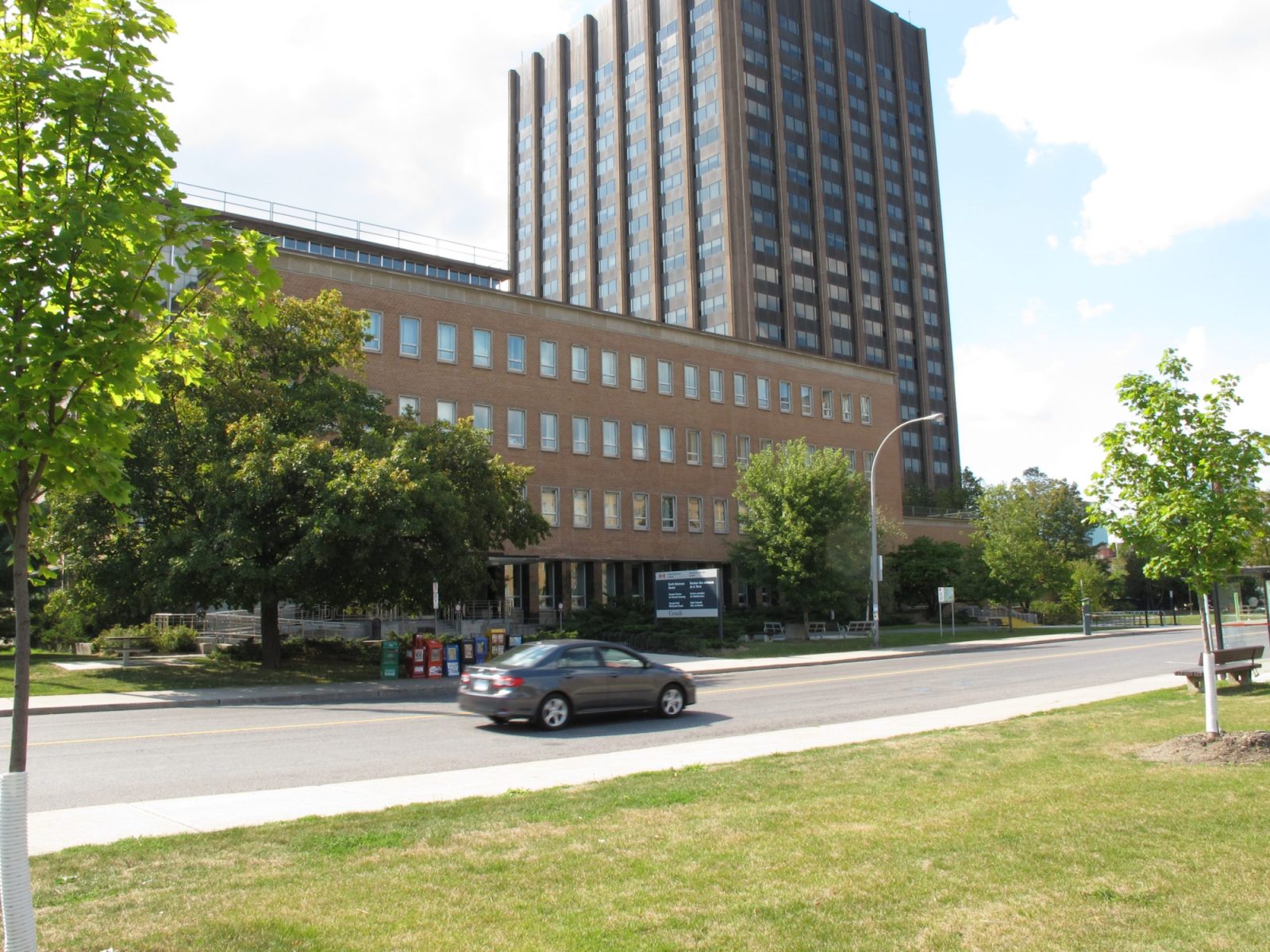
Like the Mapping Building to the south, the building’s east elevation is set back from Lebreton Street to limit the impact of this edge on the adjacent residential uses, but it remains the back of the campus with limited to no access points and localized loading docks. The detailing along this elevation is consistent with those found on other elevations.
On the interior there is a range of finishes and planning aspects that remain, reflecting the original design intent of the building. Narrow floor plates with double loaded corridors are generally used throughout with terrazzo flooring distinguishing these areas from the offices and laboratories that are finished in lesser linoleum. Also of note, there relocatable partitions that are still in use, originally intended improve the flexibility of the interior layout and enhance the responsiveness of the building.
The building, like the rest of the Both Street Complex Modern-period buildings, is FHBRO-Recognized. As this building ages, the location, needs of associated department and building system challenges place this and other like buildings at risk to significant changes and potential demolition. Given the significant development occurring nearby, the Booth Street complex is ideally located for potential development, within which the existing buildings may or may not play a role. Hopefully, future development will protect this unique campus-scaled example of Modern-period architecture and landscape design.
About the Booth Street Complex
There are four modern-period buildings situated within the Booth Street Complex that were constructed during the last half of the 1950s marking a significant expansion of this existing government complex. It also reflected the government’s policy of decentralization under the Greber Plan. Other government complexes constructed during this period include Tunney’s Pasture and Confederation Heights. The complex also reflect the important role of National Resources Canada in the mapping and exploration of Canada’s vast and varied geographic regions as well as its role in the development of Canada’s mining sector. Architecturally, the four modern-period share a number of common design traits most commonly associated with International Style architecture which is characterized by “clean lines, legible structure, an asymmetrically balanced composition and a building form which expresses internal functions.” – FHBRO Heritage Character Statement.
The cohesiveness of the complex is aided by the shortness of construction, similar design characteristics of the complex’s buildings, and well-considered landscaping. According to the FHBRO Heritage Character Statements for all of the modern buildings, all buildings “contribute to the campus-like stetting of the NR Can complex through [their] complementary massing and formal relationship to adjacent buildings. The landscaped open spaces between the buildings were included as integral to the original design; this feature has been been maintained and enhanced since the [complex’s] construction.”