Confederation Park
-
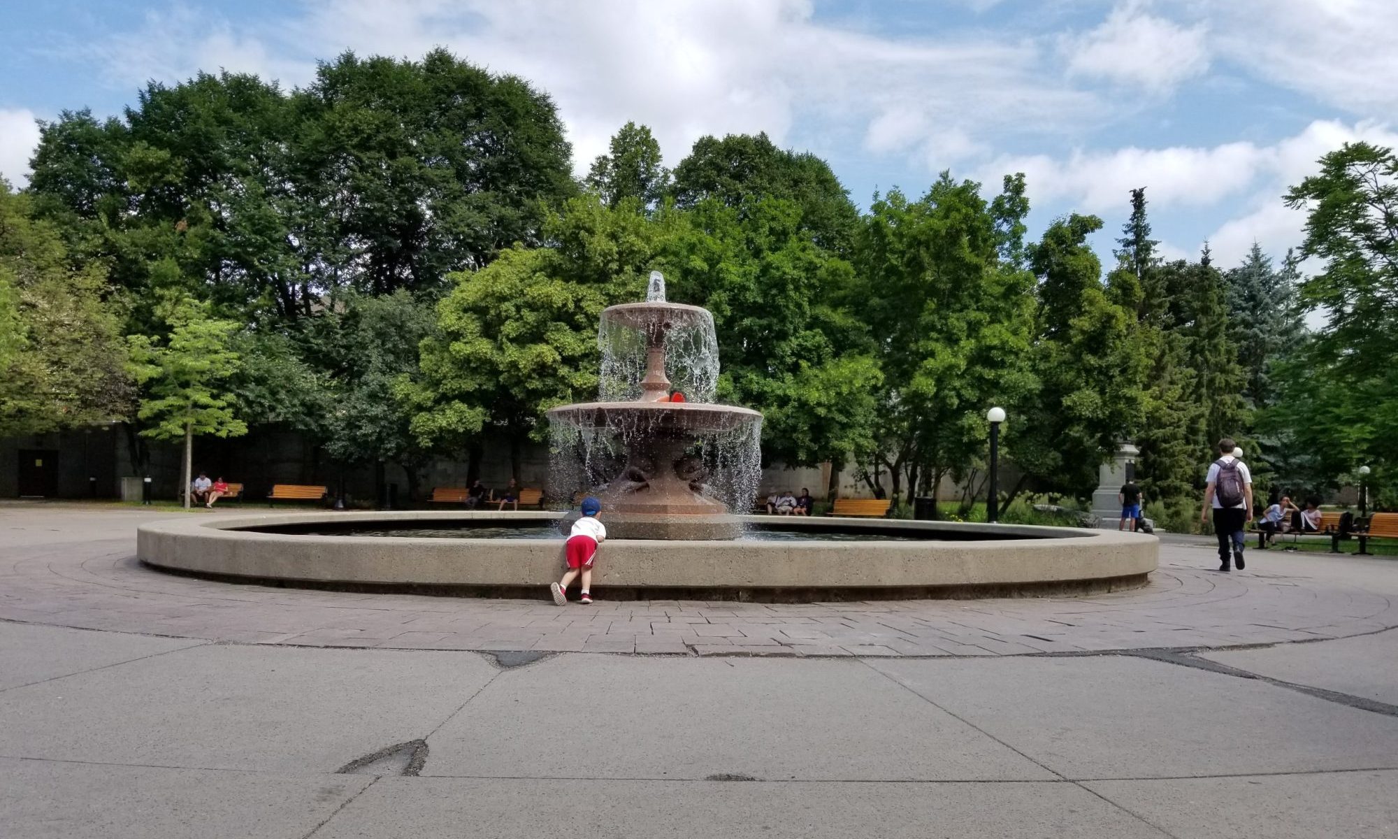
Colonel By fountain
-
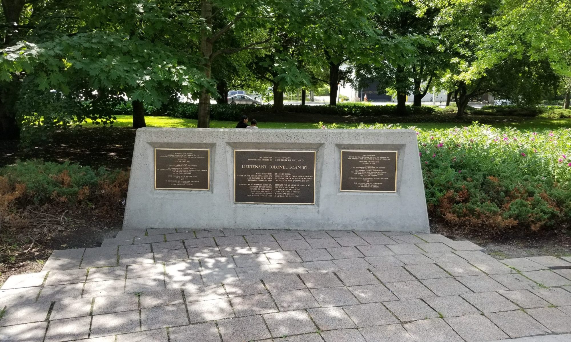
Plaques immediately south of the Colonel By fountain explaining the history of the fountain
-
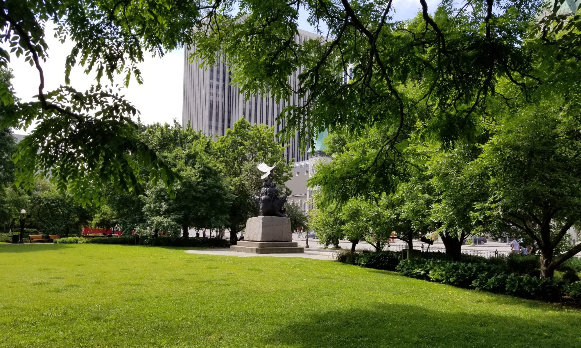
Monument to Aboriginal War Veterans resting along the western edge of the park
-
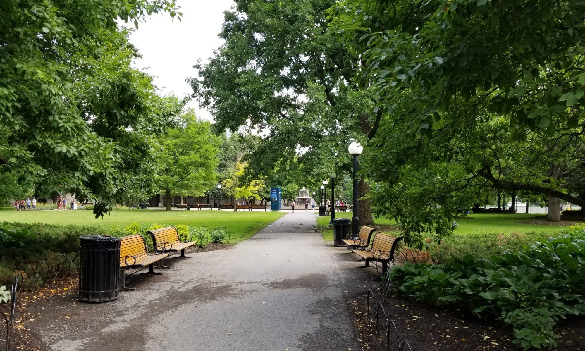
One of the paths within the western half of the park
-
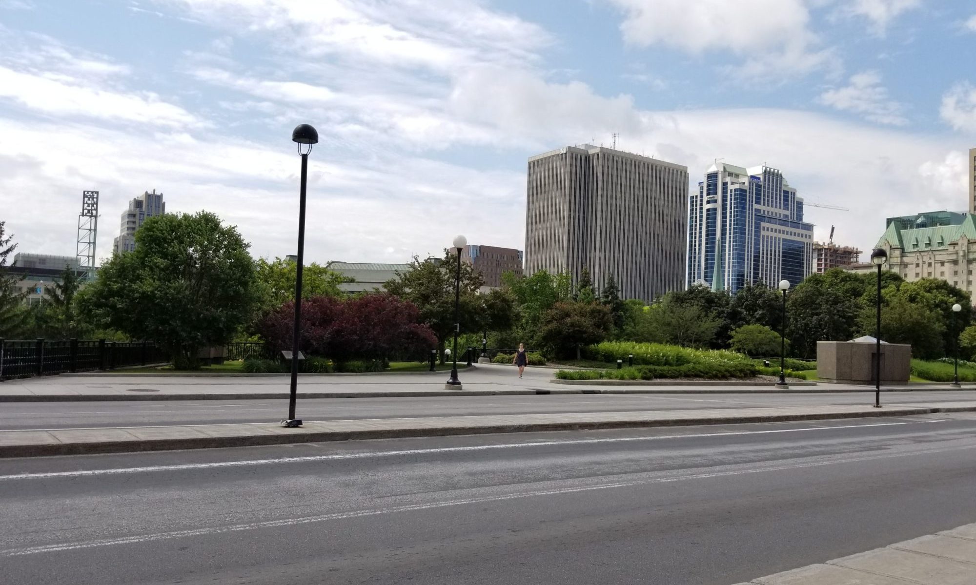
Greenspace on the south side of Mackenzie King Bridge immediately above Confederation Park
Confederation Park, Ottawa, ON
Ottawa Core
Landscape
National Capital Commission
1967
Largely completed in last half of the 1960s, as part of the construction of National Arts Centre, this urban park bounded by Elgin Street, Laurier Avenue West, Rideau Canal and Mackenzie King Bridge, is an important downtown Ottawa greenspace. It’s construction is associated with the larger efforts within this area by the National Capital Commission and its predecessor organizations.
At a macro scale, the park has two distinct zones. The western half is focused around a fountain, created to recognize Colonel John By in the first half of the 19th century; eventually arriving in its current home in the 1970s. The fountain was given the National Gallery of Canada who selected this site, directly across from their previous home in the Lorne Building. Tree placement, paths and entries within this portion of the park all highlight the fountain and gently move around it.
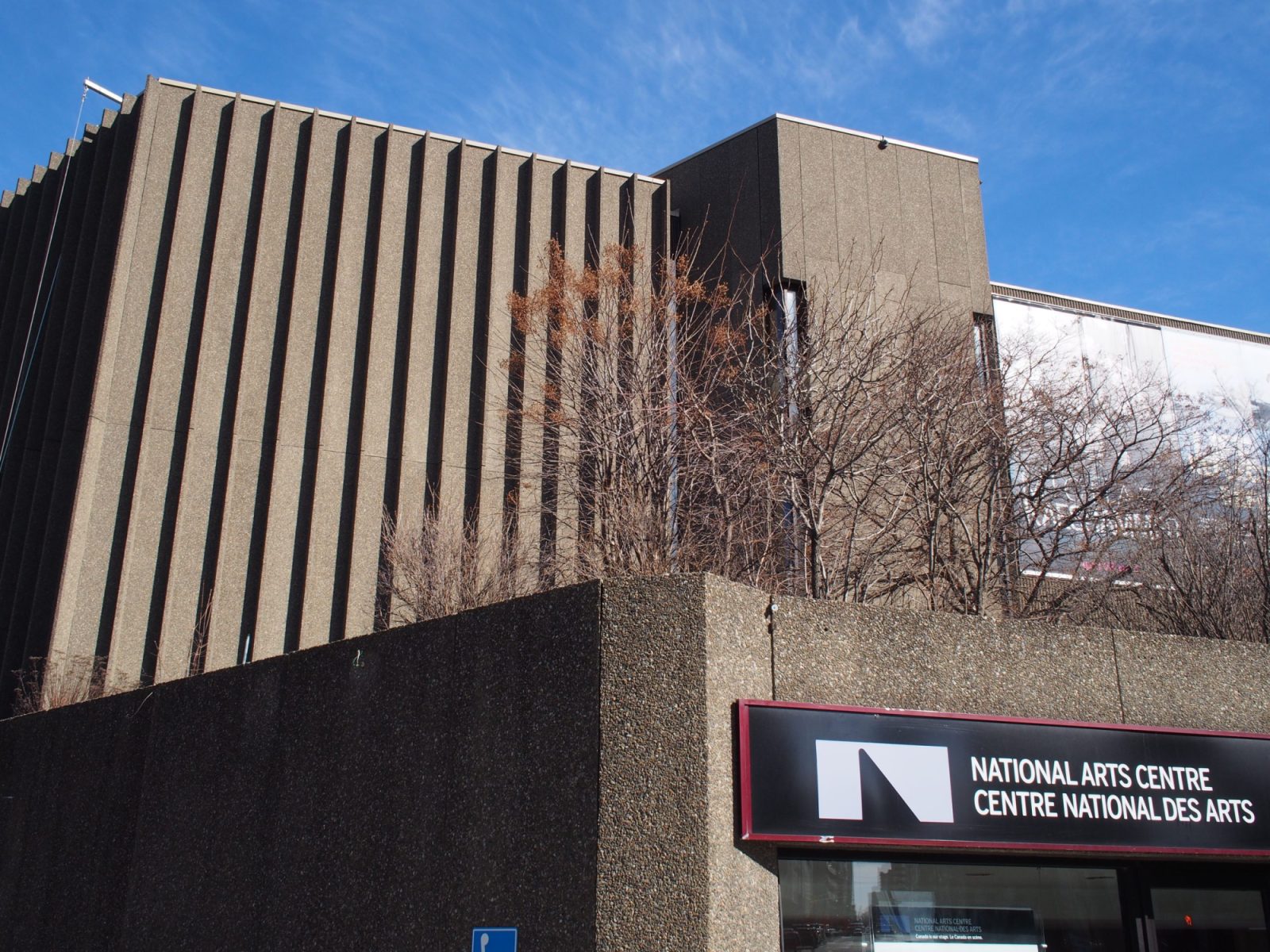
Continuing deeper into the park, the eastern half is largely open, enclosed by trees on three sides. Except for a single tree this half is open and is most commonly used for events such as Winterlude and the Jazz Festival. Bordering the northern edge is a precast concrete wall, part of the adjacent National Arts Centre, and a stair leading up to additional green space along the southern edge of Mackenzie King Bridge. It is the character of the park’s northern edge that remind visitors of its age and its connection to the development of its surrounding context.
Evolution of the Site
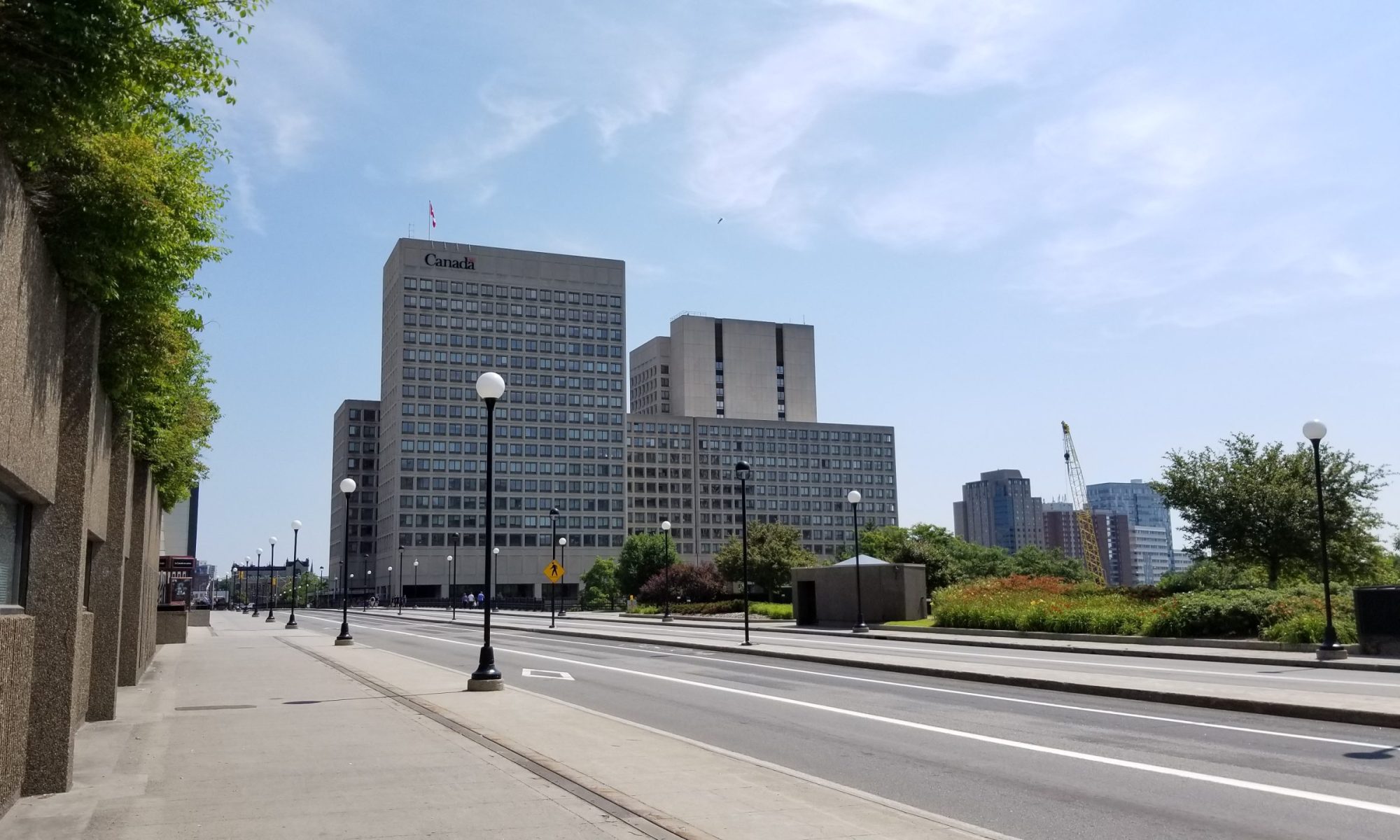
Technically constructed in 1967, the creation of Confederation Park is very much intertwined with its larger surrounding context and the desire of the National Capital Commission to remake Ottawa’s core into an urban landscape befitting a national capital. The first big urban move within the area was the creation of Confederation Square and the National War Memorial. As part of these efforts a significant number of buildings were cleared away including those within the footprint of the square and the periphery of the square extending towards the Rideau Canal.
Among the casualties was the municipal heart of Ottawa including city hall, main police station and fire stations. Well after the construction of Confederation Square, the land for the Park would remain occupied by a range of buildings including the Roxborough Apartments, once home to a number of Canadian Prime Ministers. In 1949, the area was officially identified for a park as part of the broader Greber Plan and subsequently selected for a new museum to be constructed to mark Canada’s Centennial (never constructed). As a note, the planned museum on the Confederation Park site was a consideration for the architect’s of the National Arts Centre and the decision to design a structure that was low and both landscape and building.
Ideas for the Future
Maintaining the quality of this urban green space is important to the health of the surrounding area, especially with the Park being interconnected with the larger network of green spaces and pathways in downtown Ottawa. Potential modifications would likely be evolutionary in nature meant to augment existing uses. One large move along these lines would be the construction of a permanent band shell within the eastern half along its northern border. In theory, a band shell in this location could solve multiple functions including stage, dressing rooms, public washrooms, additional indoor performance space (under the outdoor stage), perhaps a restaurant, elevator, new stair and more green space on top.
While the band shell is an opportunity to permanently recognize an established use for the park, the grade differential between the park and Mackenzie King Bridge provides the possibility to use the roof to expand and redesign the existing bridge green space is a chance to redefine how the bridge is used. With the eventual redesign of the Transitway there is an opportunity to grow Mackenzie King Bridge beyond its traffic-focused role. Expanding the existing green space would be somewhat modest, but the potential physical and visual connections could fundamentally change how the bridge and park are used and viewed.
Exploring the Capital